Precision Deer Counts from Above
Managing wildlife populations has always been a critical part of estate management, conservation planning, and long-term land stewardship. Wildlife Management in particular deer play a huge role in shaping the landscapes we value so highly across Scotland and the wider UK. Their presence is essential for biodiversity and ecological balance, but when populations rise unchecked, the impact on woodlands, habitats, and regeneration can become a real challenge.
For estate managers, landowners, and organisations responsible for wildlife oversight, getting accurate information is half the battle.
That’s where PB Aerial Imaging Ltd truly shines. Together, we bring state-of-the-art drone technology, advanced environmental expertise, and years of field experience to help estates make more informed decisions about deer management and herbivore impact.
Why Monitor Deer Populations?
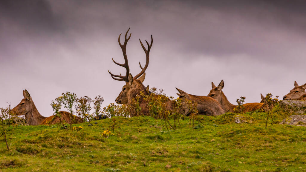
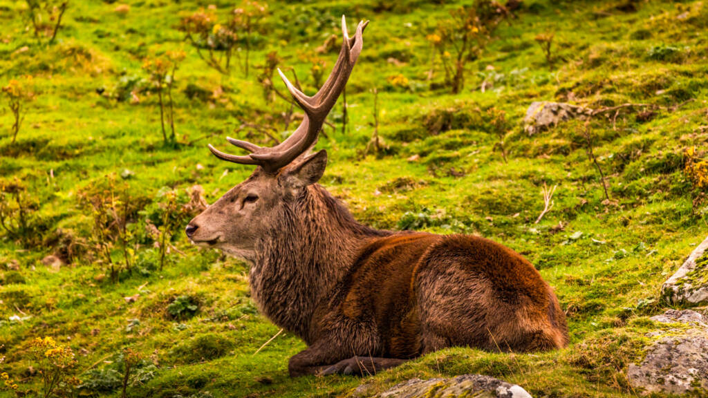
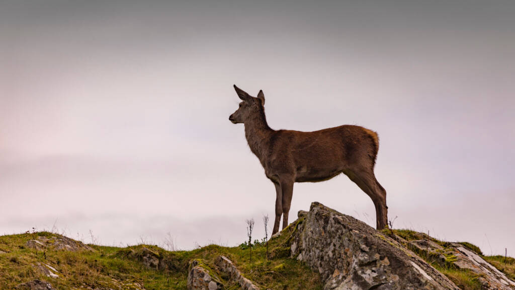
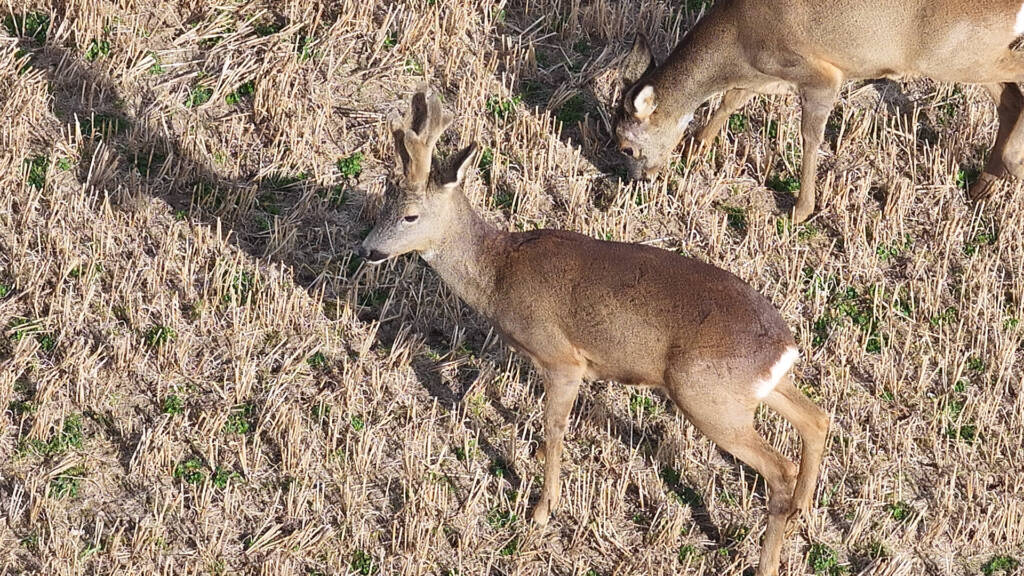
Whether it’s roe deer quietly browsing woodland edges or red deer ranging across open hills, the UK’s six wild species all have an impact on the land. In the right numbers, deer support biodiversity and bring life to rural landscapes. But when populations grow unchecked, they can cause real damage:
- Stunted tree growth and failed woodland regeneration
- Crop losses and damaged agricultural margins
- Habitat degradation and reduced plant diversity
- Genetic hybridisation (particularly with species like sika)
Without good data, it’s impossible to manage effectively. And that’s where aerial thermal surveys come into their own.
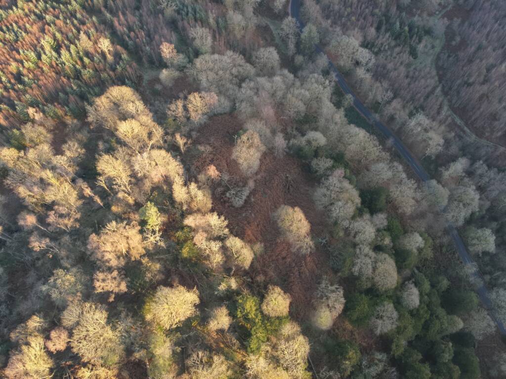
How Our Wildlife Surveys Work
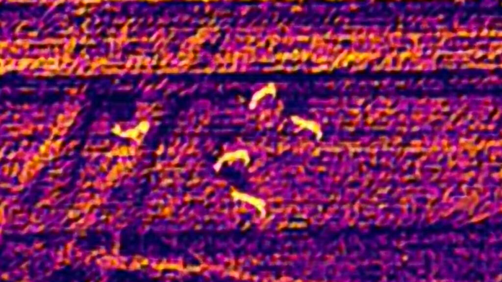
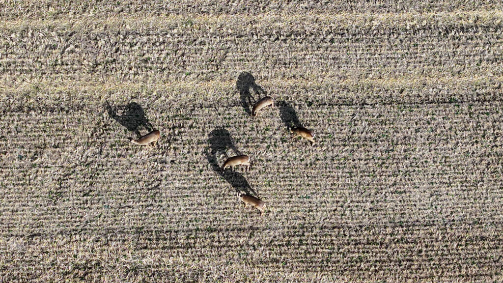
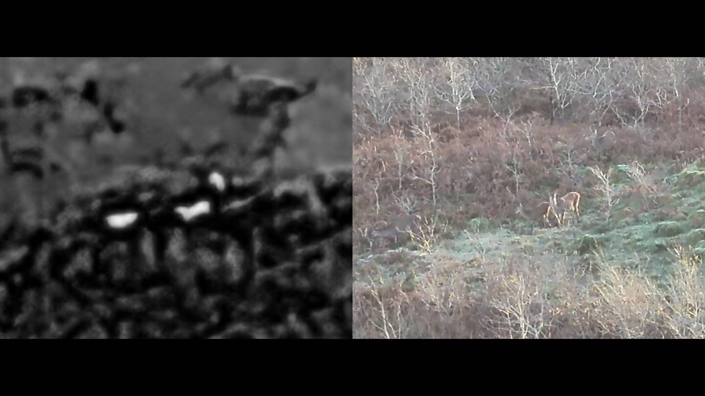
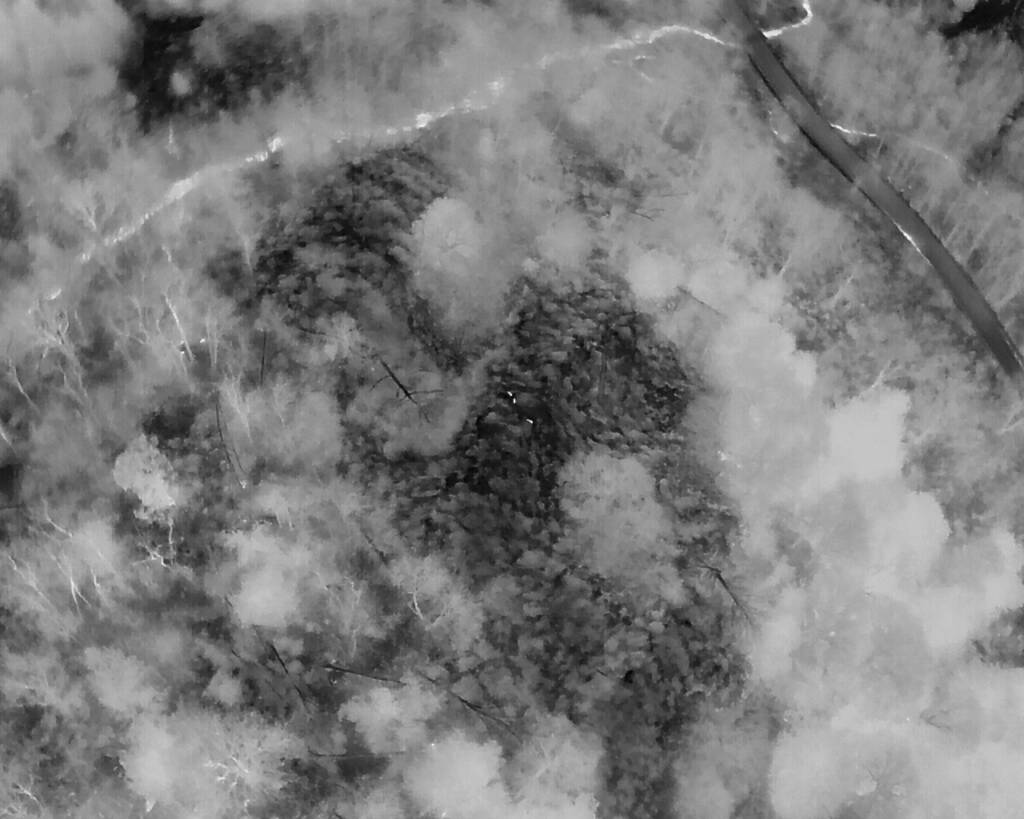
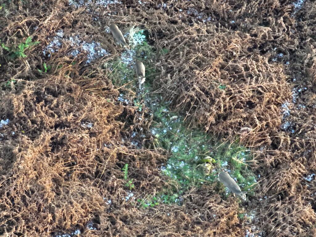
With the advancement of technology specifically thermal detection we utilise the latest DJI drones (DJI M4T, M30T and M350 with the H30T camera drones all equipped with high-resolution thermal cameras and high resolution zoom cameras, we fly targeted missions at optimal times and heights — typically at dawn or dusk, when deer are most active and temperature contrast is highest.
What You Get:
- Accurate head counts of species, even in thick woodland.
- Age and sex breakdown
- Mapping of movement patterns and habitat preferences
- Geo-referenced data for integration into land management plans
- Heat-mapped distribution
- Minimal disruption to wildlife or habitat
- Rapid turnaround of imagery and reports
Our surveys are ideal for:
- Estates looking to balance conservation with deer control
- Forestry operations concerned about browsing damage
- Landowners and farmers wanting to assess impact on crops
- Wildlife charities and councils needing reliable population data
Coverage You Can Rely On
Based in the north of Scotland, we cover rural and coastal areas across the UK, Ireland, and the EU — from Highland glens to southern estates, we’re comfortable operating in challenging conditions where others may hesitate.
We’ve worked with conservation groups, wildlife trusts, estate managers, and government bodies to deliver thermal deer counts that help inform long-term strategies — whether that’s culling, relocation, fencing, or simply ongoing monitoring.
Working Together for Responsible Management
Key Benefits at a Glance
- Highly accurate deer counts using the latest thermal drones
- Non-intrusive, low-impact survey methods
- Full ecological interpretation—not just raw numbers
- Detailed habitat and regeneration analysis
- Fast, efficient data collection
- Lower long-term management costs
- Better-informed planning and interventions
- Year-on-year monitoring made easy
- Safe, compliant and professional operations
Deer are a vital part of our natural heritage, but responsible population control is key to maintaining healthy woodlands and productive farmland. At PB Aerial Imaging, we’re proud to support that balance — using technology to deliver clarity, without the guesswork.
If you’d like to understand more about your local deer population or are considering thermal surveys as part of a wider land management plan, get in touch. We’re always happy to chat through what’s possible and tailor a solution that fits your land, your goals, and your budget.
Why Choose PB Aerial Imaging
Our strengths lie not just in what we do, but how we do it.
- Experienced, accredited drone pilots with offshore and thermal imaging expertise
- Advanced drone platforms suited for large, rugged landscapes
- A strong reputation for professionalism and reliability
- Partnership with respected environmental specialists
- A full-service approach from survey to ecological interpretation
- A genuine passion for supporting the UK’s natural landscapes
By working together, we offer something few others can: cutting-edge data collection combined with ecological understanding you can trust.