Monitoring peatland restoration is no easy task. Traditionally, surveyors have had to trek across remote bogs with clipboards, GPS units, and a lot of patience. While these methods can be effective, they’re often slow, costly, and sometimes even hazardous.
Enter drone surveys — a modern, efficient, and precise way to map and monitor peatlands. But how do they really stack up against traditional fieldwork? Let’s compare.
1. Access to Hard-to-Reach Areas
Traditional method:
- Surveyors physically walk the site, often restricted by difficult or dangerous terrain.
- Steep slopes, soft ground, and waterlogged areas can limit coverage.
Drone method:
- UAVs fly directly over challenging terrain, capturing the entire area without risking human safety.
- Perfect for surveying grips, gullies, and haggs that would be inaccessible on foot.
📎 See how the North Pennines National Landscape uses UAVs to reach inaccessible restoration sites.
2. Speed and Efficiency
Traditional method:
- Mapping large peatlands can take several days of on-site work, plus extra time for data collation.
Drone method:
- UAVs can map hundreds of hectares in a single day.
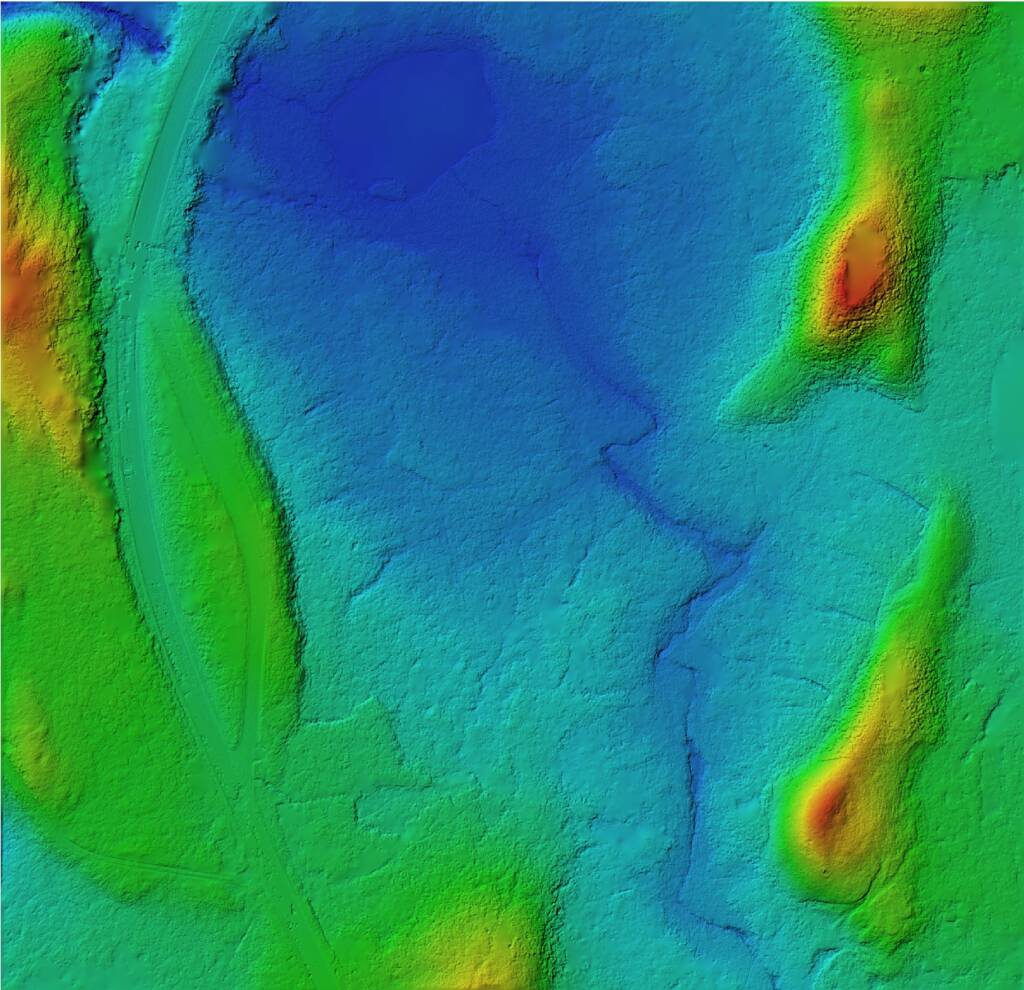
- Orthomosaics, digital surface models (DSMs), and vegetation indexes are processed within hours, ready for analysis.
3. Data Detail and Accuracy
Traditional method:
- GPS and manual observations capture point-based data.
- Limited detail between survey points.
Drone method:
- High-resolution imagery and RTK GPS deliver survey-grade accuracy across the full landscape.
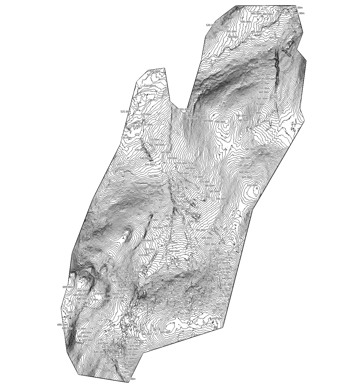
- Generate 3D models, volumetrics, and time-series maps for precise change tracking.

4. Environmental Impact
Traditional method:
- Multiple site visits may disturb fragile peatland habitats.
- Foot traffic can cause unintentional erosion or compaction.
Drone method:
- Minimal on-ground presence — data is gathered from the air.
- Reduces disturbance to sensitive species and vegetation.
5. Cost Considerations
While drones require specialist operators and technology, the reduction in survey time, manpower, and site disruption often makes them more cost-effective in the long run — especially for repeat monitoring over several years.
The Verdict
While traditional peatland surveys will always have a place (particularly for species ID and detailed ground measurements), drone surveys have become the go-to choice for large-scale mapping, time-sensitive projects, and high-risk terrain.
They deliver more data, faster, while keeping people safe and protecting the environment.
Boost Your Peatland Project with UAV Mapping
At PB Aerial Imaging, we combine CAA-approved flight operations, survey-grade equipment, and years of environmental survey experience to deliver accurate, actionable mapping for peatland restoration projects across Scotland and the UK.
📌 Read next: How Drone Mapping Supercharges Peatland Restoration Projects
👉 Ready to take your monitoring to the next level?
Contact us today for a free consultation on how our peatland restoration drone surveys can help you achieve your goals.

