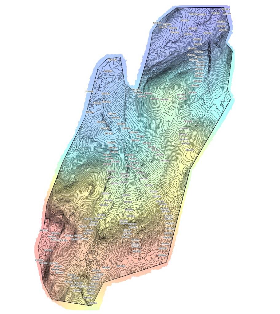
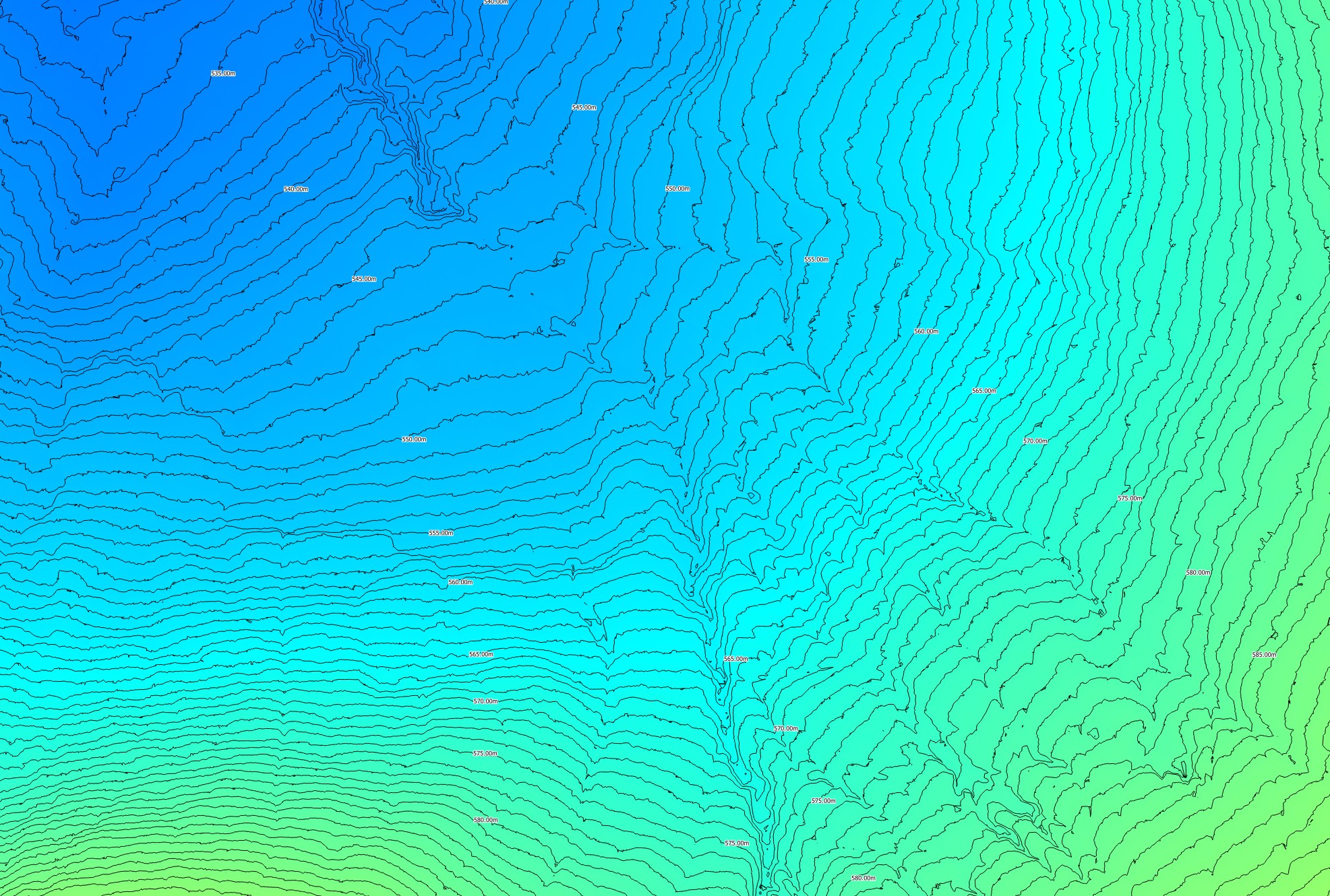
Restoring peatlands is a long-term commitment. Once drains are blocked, vegetation replanted, and erosion stabilised, the real question becomes: Is it working?
Traditionally, ecological recovery was assessed with ground-based surveys — walking transects, taking photos, and noting species composition. But with drone imagery, we now have a powerful new tool to track change with exceptional clarity over time.
1. Seeing the Big Picture
Peatlands are vast, and changes often happen gradually across large areas. Drones capture orthomosaic maps that stitch together thousands of high-resolution images, providing a complete visual record of the site.
From these aerial maps, you can clearly track:
- The spread of Sphagnum mosses
- The rewetting of bog pools
- Vegetation density changes year-on-year
📎 Check out this Natural England case study on using UAVs for habitat monitoring.

2. Measuring Change with Precision
Beyond visual records, drone surveys generate quantitative data:
- NDVI (Normalised Difference Vegetation Index) to assess plant health
- DSM (Digital Surface Models) to measure vegetation growth height
- Hydrological mapping to track water retention and rewetting progress
This means you can measure ecological change down to a few centimetres — something impossible with the naked eye.
3. Detecting Problems Early
Drone imagery allows for early identification of issues before they become costly setbacks.
- Spot drainage breaches or blocked dam failures
- Detect erosion or bare peat exposure
- Monitor invasive species spread
With regular flights, you can act quickly to maintain restoration success.
4. Supporting Funding & Compliance
Many restoration projects are funded by grants or require reporting to government bodies. Drone imagery provides independently verifiable evidence of progress, helping secure future funding and demonstrate compliance with project goals.
5. Public Engagement & Storytelling
Peatland restoration isn’t just about data — it’s also about telling the story. Drone images and videos create compelling before-and-after comparisons that inspire communities, stakeholders, and policymakers to support future projects.
📌 See our blog: How Drone Mapping Supercharges Peatland Restoration Projects
Why Choose PB Aerial Imaging?
At PB Aerial Imaging, we’re specialists in peatland restoration drone mapping, with the equipment, flight permissions, and ecological survey know-how to deliver accurate, repeatable data. Whether it’s a one-off survey or a multi-year monitoring programme, we help you track the recovery of these vital carbon stores.
👉 Let’s map your restoration success story.
Contact us today to book your peatland monitoring drone survey and see your project’s progress from a whole new perspective.

