Peatlands are fragile ecosystems. A single misplaced footstep can damage vegetation, disturb wildlife, and accelerate erosion. Yet, to protect them, we need accurate surveys to track their condition.
That’s where drones offer a win–win — delivering the data you need while keeping human impact to a minimum.
1. Minimal Ground Disturbance
Traditional survey methods require ecologists to walk transects, sometimes for days. Every step risks damaging delicate Sphagnum mosses or compacting waterlogged soils.
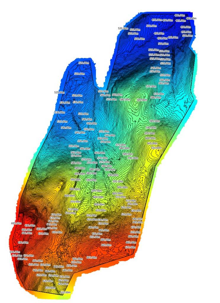
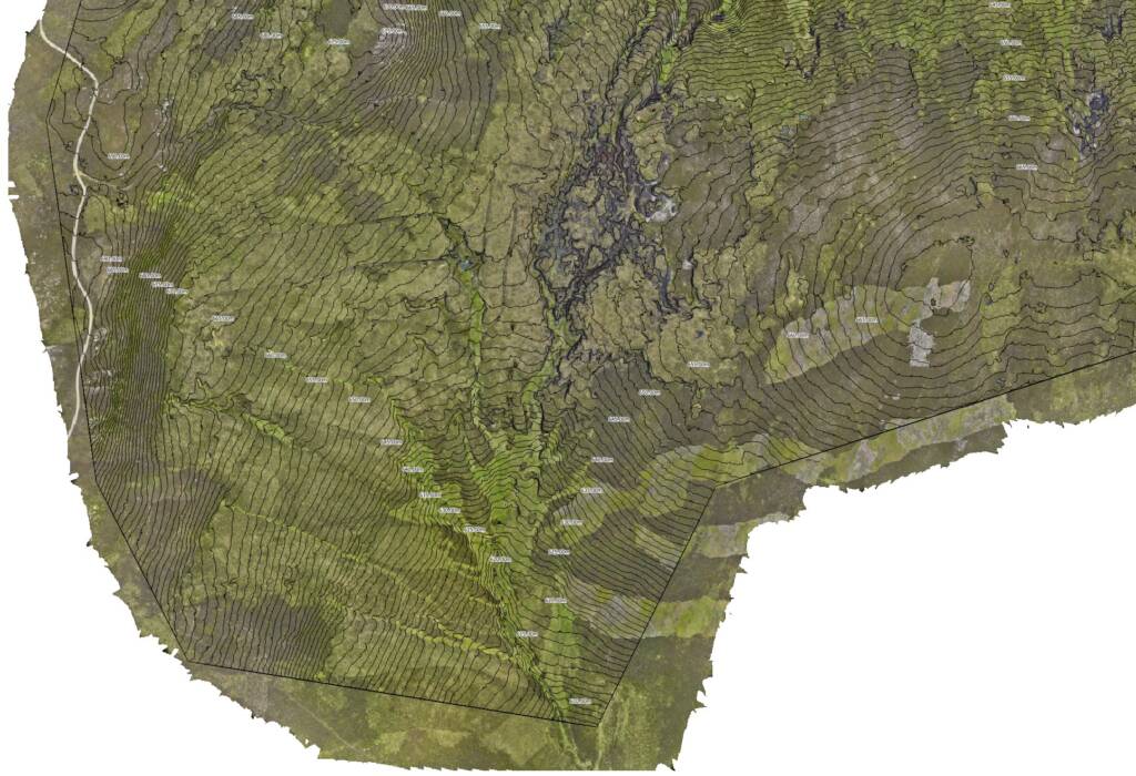
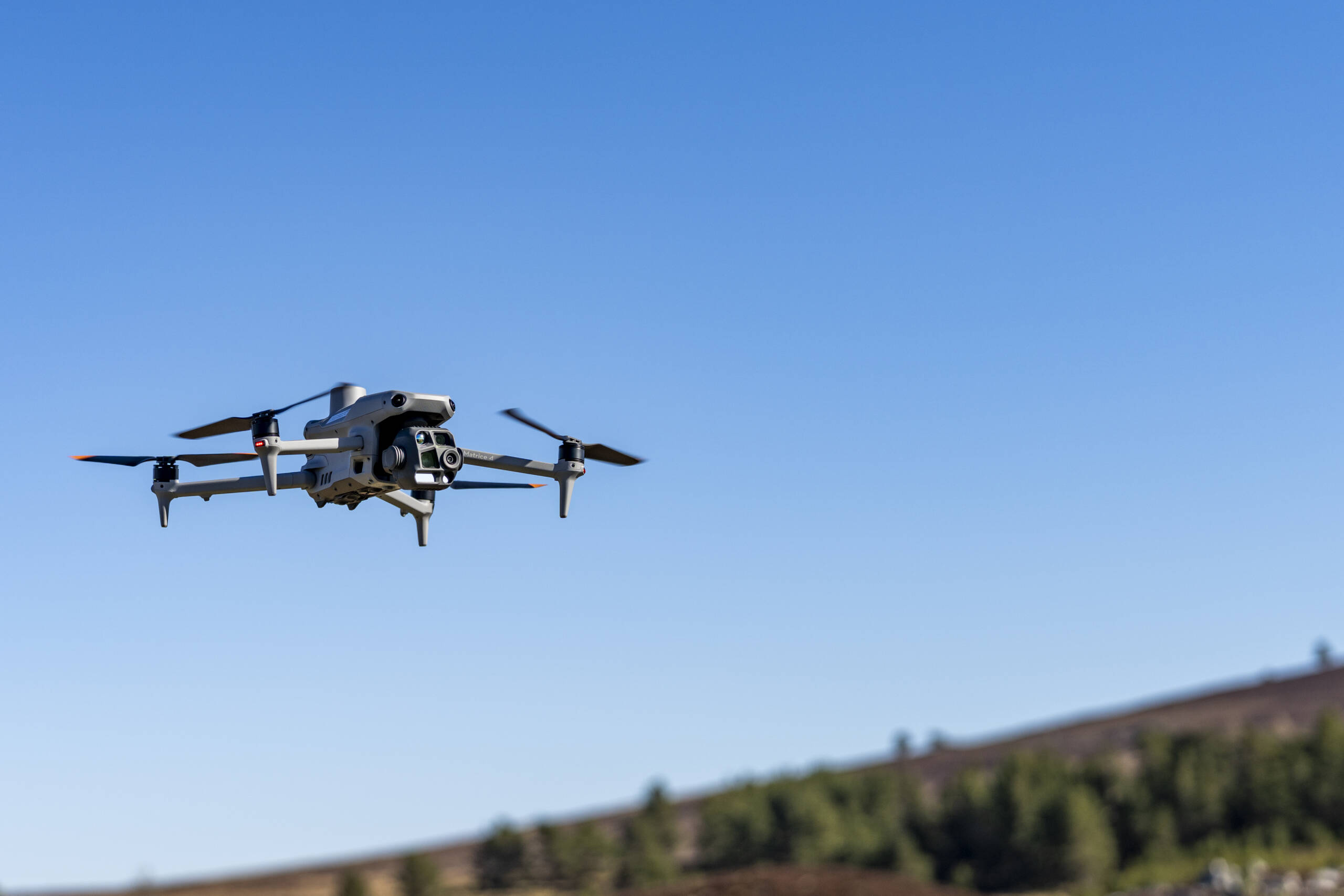
Drone surveys eliminate most of this disturbance. UAVs collect high-resolution imagery and mapping data entirely from the air, leaving the peat surface untouched.
📌 Related: Tracking Ecological Recovery with Drone Imagery

2. Reduced Carbon Footprint
Many remote peatlands are accessible only by 4×4 vehicles, ATVs, or even helicopters — all of which add to the project’s carbon footprint.
By deploying from nearby access points and covering hundreds of hectares in a single flight, drones reduce the number of trips, fuel use, and associated emissions.
3. Less Wildlife Disturbance
Some peatlands are home to ground-nesting birds, rare invertebrates, and protected species. On-foot surveys can flush wildlife from their habitats or disrupt breeding seasons.
With drones, surveys are completed at altitude with minimal noise, often without wildlife even noticing.
4. Shorter Survey Times
The longer people are in the field, the greater the risk of disturbance. Drone surveys are fast — often completed in a fraction of the time it would take on foot.
This not only reduces environmental impact but also speeds up the delivery of orthomosaics, DSM models, and NDVI vegetation indexes for analysis.
5. Supporting Long-Term Sustainability
Using drones for peatland monitoring aligns perfectly with the goals of nature restoration projects — protecting biodiversity, reducing human interference, and ensuring that the act of surveying doesn’t harm the very habitats we’re trying to restore.
Read next: How Drone Mapping Supercharges Peatland Restoration Projects

Why PB Aerial Imaging?
At PB Aerial Imaging, we understand the importance of low-impact survey methods. Our CAA-approved pilots use advanced UAV technology to deliver precise, repeatable results — without setting foot where it could cause harm.
Whether you need a pre-restoration baseline survey or long-term monitoring, we help you gather the insights you need while protecting sensitive landscapes.
👉 Ready to survey without leaving a footprint?
Contact us today to discuss our environmentally sensitive peatland drone mapping services.

