
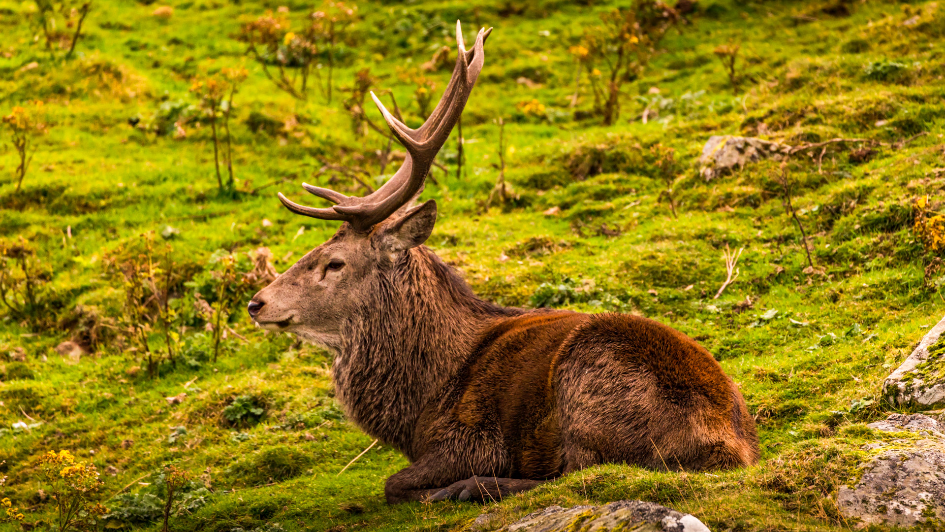
Managing wildlife populations is a complex challenge for estate owners, forestry professionals, and conservation bodies. Deer, in particular, play a significant role in the ecology of rural and upland Scotland, but without accurate population data, even well-intentioned management strategies can lead to habitat degradation, overgrazing, and conflict with conservation goals.
That’s where aerial technology—specifically drone-based wildlife surveys—is changing the game. At PB Aerial Imaging, we use cutting-edge drone systems equipped with high-resolution thermal imaging to carry out Fast, precise, efficient, and non-intrusive deer counts across challenging landscapes.
In this post, we’ll explore how aerial surveys work, the technology behind them, and why they’ve become an essential tool for modern wildlife and estate management.
Why Traditional Deer Surveys Fall Short
Conventional deer counts often involve ground-based observers using binoculars or night-vision scopes. While this approach is tried and tested, it has several limitations:
- Labour intensive: Requires large teams and coordination across multiple locations.
- Limited coverage: Surveying large, forested or mountainous areas can be slow and patchy.
- Observer bias: Human error and missed sightings can affect reliability.
- Disturbance: The presence of survey teams can spook wildlife and reduce count accuracy.
When estate budgets and environmental responsibilities are on the line, relying on outdated methods no longer makes practical sense.
The Aerial Advantage: How Drone Surveys Work
Drone-based wildlife surveys solve many of these challenges. Using advanced UAV platforms (unmanned aerial vehicles) and thermal imaging sensors, we’re able to deliver highly accurate deer population counts across large estates and remote habitats—all with minimal environmental disturbance.
Here’s how it works:
1. Pre-Survey Planning
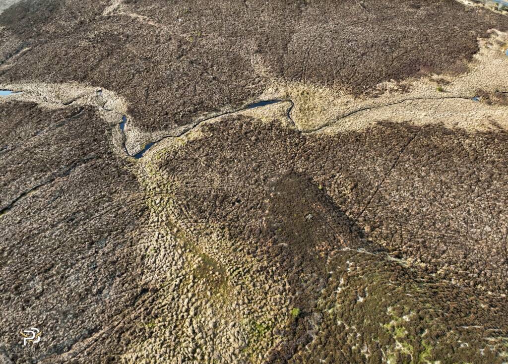
We use satellite mapping, local topography, and estate boundaries to plan efficient flight routes. Factors such as vegetation cover, terrain type, and time of day are all considered to optimise survey conditions.
2. Flight Operations
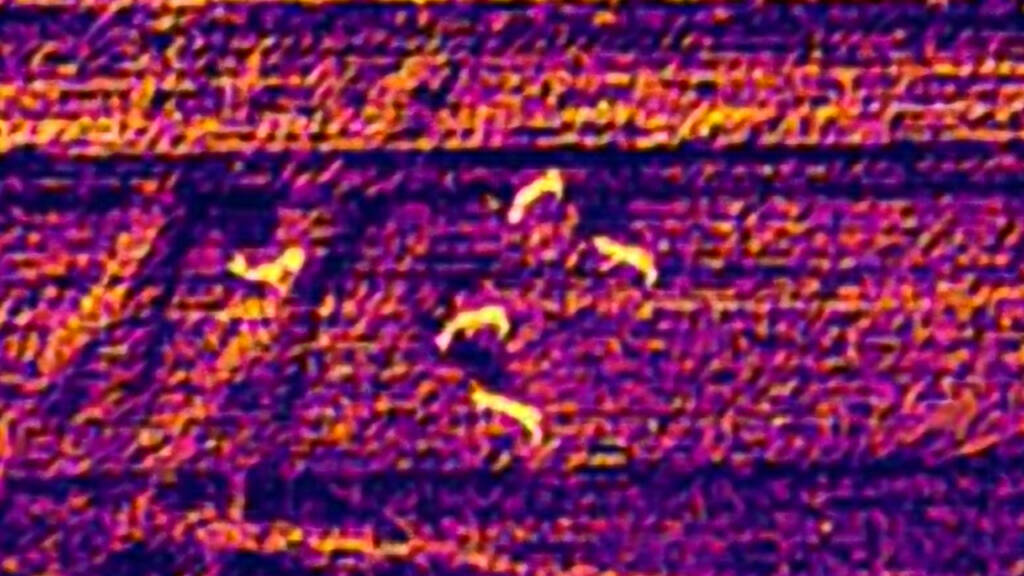
Flights are conducted using professional-grade drones equipped with stabilised, high-sensitivity thermal cameras. These sensors detect body heat signatures and are capable of spotting deer even in dense cover or poor light.
Surveys are typically performed:
- At dawn or dusk for maximum contrast
- At night in cooler months (when deer stand out sharply against colder ground)
- In a grid or transect pattern to ensure full coverage
3. Thermal Detection and Imaging
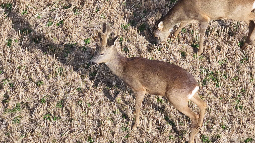
Thermal sensors capture continuous data, identifying warm-bodied animals against the landscape. High-resolution imaging allows us to distinguish deer from other wildlife (e.g. foxes, hares, livestock) and even separate species based on size, shape, and movement.
4. Data Analysis and Reporting
Post-flight, we review and analyse the footage to provide:
- Individual animal counts
- Location mapping
- Behavioural notes (grouping, movement patterns)
- Comparisons with previous data for population trends
This data is then compiled into a clear, easy-to-use report tailored to estate management needs.
The Technology We Use
At PB Aerial Imaging, our drone platforms are tailored to suit rough terrain, unpredictable weather, and long-range operations. Key technologies include:
🔹 Thermal Imaging Cameras
We use radiometric thermal sensors with high pixel resolution and temperature sensitivity, capable of detecting warm-bodied animals from high altitudes. This allows for quick, large-scale surveying of both open and wooded terrain.
🔹 RTK GPS & Autonomous Flight
Real-Time Kinematic GPS ensures precise flight control and repeatable patterns for long-term monitoring. Pre-programmed flight paths reduce error and ensure full area coverage with minimal overlap.
🔹 Secure Data Handling
Captured data is stored securely and can be shared with land managers, consultants, or regulatory bodies. We also offer data archiving for year-on-year comparisons.
Benefits for Estate Managers and Wildlife Professionals
The use of drones for wildlife surveys provides several key advantages:
✅ Accuracy
Thermal imaging reduces the risk of undercounting or double-counting deer. Surveys are more consistent and repeatable compared to human observation.
✅ Speed and Efficiency
Large areas can be surveyed in a fraction of the time required by ground teams—ideal for estates covering thousands of hectares.
✅ Cost-Effective
While high-tech, aerial surveys reduce the overall need for personnel and equipment, lowering long-term management costs.
✅ Non-Intrusive
Deer remain undisturbed by high-altitude drones, ensuring more natural behaviour and more accurate data.
✅ Versatility
Drone surveys are not limited to deer—data can also be gathered on livestock, bird populations, or habitat changes.
Use Cases in Deer Management
Aerial deer surveys support a wide range of practical applications, including:
- Pre-cull planning: Know how many deer are on-site before setting culling targets.
- Post-cull verification: Confirm success rates and impact.
- Woodland regeneration monitoring: Track browsing pressure in rewilding or afforestation zones.
- Population control evidence: Provide proof of sustainable management to stakeholders or regulators.
- Estate planning: Combine population data with terrain maps for fencing, stalking paths, and conservation zones.
Regulatory Compliance and Ethical Practice
We are fully CAA licensed for commercial operations across the UK and carry comprehensive insurance. All operations are conducted in line with best practice for wildlife disturbance, and we work closely with estate teams to ensure local knowledge is respected and integrated into planning.
What Our Clients Say
Estate managers across Scotland and the UK have praised drone deer surveys for their reliability and ease of implementation. Whether supporting traditional stalking estates, conservation land, or forestry holdings, aerial surveying has become a vital part of modern land stewardship.
“The drone deer count was quick, clean, and accurate. We knew exactly what was on the hill before the season started, and it made the entire process more transparent.”
— Highland Estate Manager, Sutherland
Work With PB Aerial Imaging
With over nine years of aerial filming experience across onshore, offshore, and upland environments, PB Aerial Imaging is trusted by estates, councils, NGOs and private landowners to deliver expert drone services with professionalism and precision.
We offer:
- One-off deer counts
- Seasonal or annual monitoring
- Multi-estate contracts
- Thermal surveys for other wildlife species
- Asset and infrastructure inspection as part of estate planning
If you’re interested in transforming your wildlife management strategies and obtaining precise deer counts for your estate, we invite you to reach out to us. Our team at PB Aerial Imaging is ready to assist you in utilising state-of-the-art drone technology to enhance your land stewardship efforts. Visit our website and contact us today to learn more about how we can support your wildlife management needs.
