As deer numbers continue to rise across the UK, the pressure on woodlands, farmland, and fragile habitats is growing. Whether you’re managing a Highland estate, a mixed woodland in England, or rewilding land in Ireland, knowing how many deer are on your patch is essential — and doing it accurately has never been easier.
At PB Aerial Imaging, we specialise in thermal deer surveys using cutting-edge drone technology. From early-morning roe deer counts to tracking red deer across vast open ground, our aerial imaging solutions offer reliable, non-invasive data to support smarter decision-making.
Why Count Deer with Drones?
Traditional deer counts often involve ground-based teams, long hours, and a fair bit of guesswork — especially in dense woodland or rough terrain. Our drone-based deer counting method changes that completely.
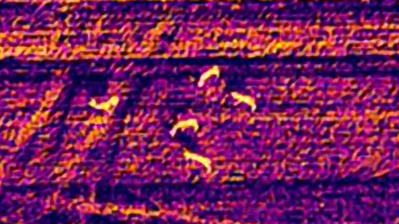
Using high-resolution thermal imaging, we can detect deer with pinpoint accuracy — even when they’re hidden in cover or moving at first light. It’s a game-changer for landowners, conservationists, and forestry teams looking for fast, clear results.
Benefits of drone deer surveys:
- ✅ Accurate population counts
- ✅ Minimal disturbance to wildlife
- ✅ Works in woodland, moorland, farmland & wetlands
- ✅ Geo-tagged thermal imagery for reporting & planning
- ✅ Ideal for large or remote sites

A Closer Look at Deer in the UK
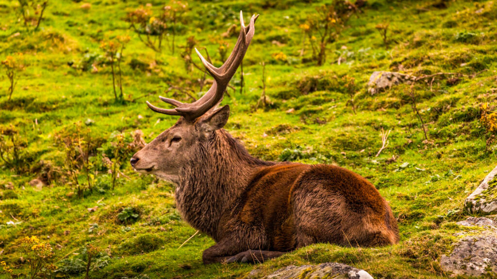
The UK is home to six wild deer species: red, roe, fallow, sika, muntjac, and Chinese water deer. Some are native, others introduced, but all can have a big impact on land use.
From browsing young trees and damaging crops to altering habitat diversity, deer management is essential if we’re to protect both biodiversity and rural livelihoods. But effective management starts with good data — and that’s where our thermal drone surveys shine.
Who We Work With
We support a wide range of clients across the UK, Ireland and the EU:
- Private estates balancing conservation with population control
- Forestry and woodland managers monitoring regeneration
- Rewilding projects wanting to understand herd behaviour
- Councils and conservation bodies assessing ecological impact
- Farmers and landowners protecting crops and margins
What You Get
Every thermal deer survey includes:
- Full thermal drone coverage of the target area
- Mapped deer detections with location data
- High-resolution thermal stills and video clips
- Clear, concise reporting — perfect for management plans
- Follow-up support and advice if required
Whether you’re trying to meet statutory requirements, protect forestry investment, or just get a clearer picture of what’s happening on your land, we tailor our approach to your needs.
Deer Counting That Works With Nature, Not Against It
Drones allow us to work quickly and quietly, without disturbing the very wildlife we’re observing. It’s a lower-impact alternative to ground-based surveys, and often more cost-effective too.
As thermal imaging technology continues to improve, we’re proud to be leading the way in UK wildlife monitoring — using drones not just for pretty pictures (although we love those too), but for delivering real, measurable insight.
Ready to Take Control of Your Deer Data?
Whether you manage hundreds of hectares or a single block of woodland, an accurate, up-to-date understanding of your deer population is invaluable. Let PB Aerial Imaging provide the data you need to make confident, informed choices.
📍 Based in the North of Scotland | Operating across the UK, Ireland & EU
📩 Drop us a message to book a thermal deer survey or chat through your project needs

