

Unlocking the Power of Aerial Drone Mapping: From Data Capture to Actionable Insights
Forget traditional surveys that slow your projects down and leave gaps in your data. With aerial drone mapping, you gain precise, high-resolution data capture that fuels sharper decision-making. At PB Aerial Imaging, we turn complex aerial data into clear, actionable insights tailored for construction surveys, renewable energy mapping, and beyond. Read on to see how this precision mapping can sharpen your operations and reduce costly guesswork. Learn more about drone mapping at Pix4D Vision Aerial.
The Process of Aerial Drone Mapping
Aerial drone mapping is a game-changer, turning complex landscapes into easily digestible data. Let’s journey through this innovative process, starting with how drones capture high-precision images.
High-Precision Data Capture
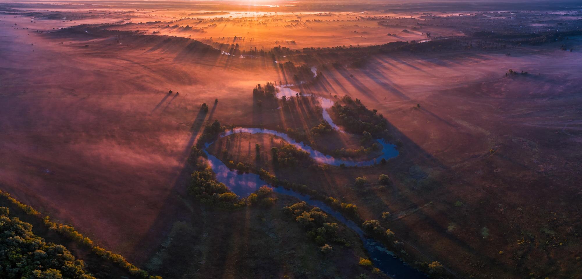
Imagine capturing every detail of a site from above, as if you were there. Drones make this possible by flying over areas to gather high-resolution images. These images aren’t just pictures—they’re packed with data. Each flight path is carefully planned to ensure every inch is covered. The resulting images boast centimetre-level accuracy, ensuring no detail is missed.
Drones equipped with advanced cameras and sensors can snap thousands of images in one flight. This is far more efficient than traditional methods, saving you time and resources. Plus, with the ability to access hard-to-reach areas, drones capture data that was previously unattainable. This opens new possibilities for industries like construction and renewable energy.
High-precision data capture is only the beginning. Once the images are secured, the next step is turning them into insights, which we’ll explore next.
From Capture to Insights
Transforming raw data into actionable insights involves advanced software solutions. At PB Aerial Imaging, we use top-notch platforms like DroneDeploy to process images into 3D models and maps. This technology stitches together thousands of images to create a comprehensive view of the surveyed area.
The magic happens when these models highlight patterns and opportunities. For instance, construction managers can spot potential site issues before they escalate. Renewable energy firms can optimise their layouts for maximum efficiency. Insights like these empower you to make informed decisions swiftly.
With detailed maps and models in hand, the next crucial step is using these insights to guide strategic decisions.
Turning Data into Decisions
The power of aerial drone mapping lies in its ability to turn complex data into straightforward decisions. Once you have detailed maps and models, the path forward becomes clearer. In construction, for example, accurate data helps in planning and resource allocation. It reduces the guesswork that often leads to costly mistakes.
In renewable energy, drone data identifies the best sites for wind and solar installations. This optimises energy production and cuts down on operational costs. The key takeaway here is that informed decisions lead to enhanced efficiency and reduced risks.
The process from data capture to actionable insights is streamlined and efficient, providing tangible benefits across various sectors. Let’s delve into these industry-specific applications next.
Applications Across Industries
The applications of aerial drone mapping stretch across multiple industries. Each sector reaps unique benefits from this technology, reshaping how they operate and make decisions.
Construction Surveys and Planning
In construction, aerial drone mapping has become indispensable. Imagine starting a project with a precise, detailed view of the entire site. Drones provide this by capturing high-resolution images that are transformed into detailed 3D models. These models reveal every contour and feature of the landscape, allowing for accurate planning.
This level of detail aids in site surveys and helps identify potential challenges early on. Project managers can plan more efficiently, reducing delays and unforeseen costs. This technology also enables regular progress updates, helping keep projects on schedule.
Drones are not just tools; they’re partners in construction, ensuring projects run smoothly from start to finish.
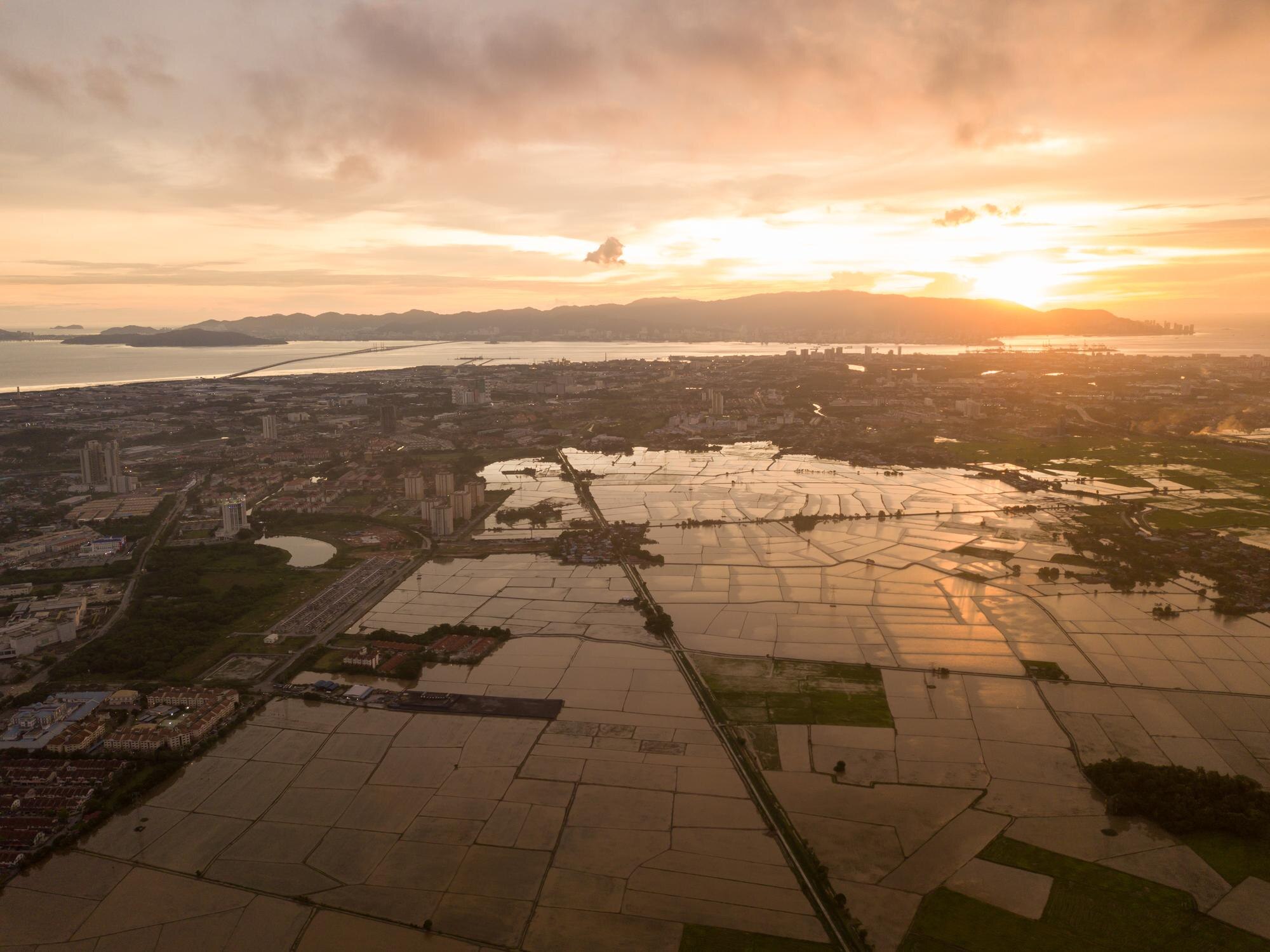
Renewable Energy Mapping Solutions
Renewable energy sectors are swiftly adopting drone technology. For solar and wind farm planners, drones map large areas quickly and accurately. This data helps in determining optimal installation sites, boosting energy output while minimising environmental impact.
Using drones, renewable energy companies can conduct regular equipment inspections without halting operations. This proactive maintenance approach saves time and resources, ensuring the consistent performance of energy assets.
In essence, drones drive efficiency and optimisation in renewable energy, a key advantage in a competitive industry.
Media Sector Innovations
The media industry is another beneficiary of drone technology. High-quality aerial footage adds a dynamic element to films and broadcasts. Drones capture unique perspectives, creating visuals that captivate audiences.
In TV and film, drones are used for sweeping landscape shots and intricate close-ups, enhancing the storytelling process. This innovation reduces the need for expensive equipment and large crews, making production more manageable and cost-effective.
Drones have become essential in media, offering creative solutions that were once unimaginable.
Benefits of PB Aerial Imaging
Partnering with PB Aerial Imaging unlocks a world of benefits. Our expertise and tailored services ensure you receive top-notch solutions for your mapping needs.
Expertise in Drone Technology
Our team at PB Aerial Imaging consists of seasoned professionals passionate about drone technology. With over nine years of experience, we understand the unique challenges across industries. Our advanced equipment and techniques ensure you receive the most accurate and reliable data.
Whether you need detailed surveys or stunning aerial footage, our expertise guarantees excellence. You can trust us to deliver precise results tailored to your specific requirements.
Tailored Mapping Services
Every project is unique, and we believe in providing customised solutions. Our services are tailored to meet your specific needs, whether in construction, renewable energy, or media. We work closely with you to understand your goals and deliver results that exceed expectations.
Our commitment to quality and innovation sets us apart, ensuring you receive the best possible service.
Enhancing Operational Efficiencies
Our drone mapping services significantly enhance operational efficiencies. By providing accurate data and insights, we help streamline processes and reduce costs. The longer you wait to integrate drone technology, the more opportunities you miss to optimise your operations.
Our solutions enable you to make informed decisions that drive success and efficiency across your projects.
In conclusion, aerial drone mapping offers unparalleled advantages for businesses in construction, renewable energy, and media. By partnering with PB Aerial Imaging, you gain access to cutting-edge technology and expert services that transform how you operate and make decisions.
