
Drone Mapping and Thermal Imaging: Raising the Game for Construction and Renewable Energy
Drone mapping UK and thermal imaging drones are reshaping how construction and renewable energy projects get done. If your current surveys stretch timelines and inflate costs, there’s a smarter way. RTK drone surveys deliver precise orthomosaic mapping, 3D point clouds, and BIM-ready deliverables that cut risk and speed decisions. Let’s explore how these tools drive accurate progress monitoring, asset integrity inspection, and condition monitoring with unmatched detail and reliability.
Revolutionising Construction Projects
In the world of construction, precision and speed are key. Drones are transforming these projects, offering innovative solutions that save both time and money.
Enhancing Site Analysis with Drone Mapping UK
Imagine getting a bird’s-eye view of your project site without leaving your desk. Drone mapping UK provides detailed images and data, allowing you to plan with confidence. With drones, you can capture high-resolution images from above, offering a comprehensive view of the site. These images are not just useful; they are critical for making informed decisions.
Drones offer more than just pretty pictures. They create detailed maps and 3D models that reveal the true terrain of a site. This technology not only speeds up the planning process but also ensures that every detail is accounted for. Say goodbye to guesswork and hello to precise planning. Most people think traditional surveys are enough, but drone mapping delivers more accuracy faster.
Streamlining Progress with RTK Drone Survey
Keep your project on track with RTK drone surveys. They give you the data you need to monitor progress and make adjustments in real time. These surveys provide centimeter-level accuracy, ensuring you know the exact status of the project.
With RTK drones, you can quickly spot any deviations from the plan. This means you can address issues before they escalate, saving both time and money. The longer you rely on old methods, the more you risk delays and overruns. Using drone technology keeps projects moving smoothly and efficiently.
BIM-Ready Deliverables for As-Built Verification
Ensure every detail is captured with BIM-ready deliverables. These tools verify that what is built matches the original plans. Drones create detailed models that provide a true reflection of the completed work. You can compare these models with the initial plans to ensure everything aligns perfectly.
This level of precision minimizes costly rework and ensures project integrity. Instead of waiting for errors to surface, catch them early and keep your project on track. In a world where accuracy is everything, BIM-ready deliverables are invaluable.
Advancing Renewable Energy Inspections
As renewable energy rises, the need for efficient and reliable inspections grows. Drones are leading the way, providing unparalleled insights and enhancing performance.
Solar Farm Thermography UK for PV Hotspot Detection
Detecting hotspots in solar farms is critical for maintaining efficiency. Thermal imaging drones quickly identify problem areas, ensuring swift corrective action. These drones can scan large areas in a fraction of the time it takes traditional methods. Read more about how thermal imaging drones are changing how we fight energy loss.
Once detected, these hotspots can be addressed, restoring efficiency and preventing further damage. The proactive approach saves both energy and money, maximizing the farm’s output. Most people think regular checks are sufficient, but thermography reveals hidden issues before they become costly problems.
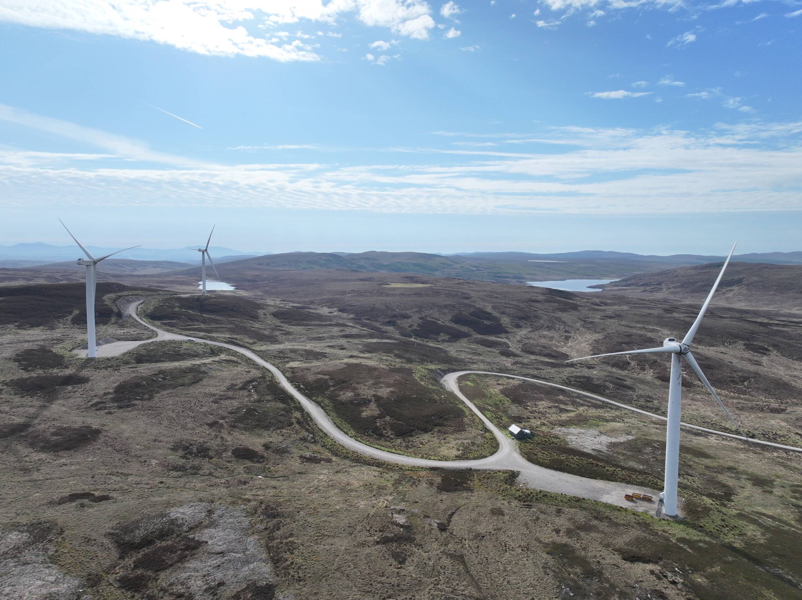
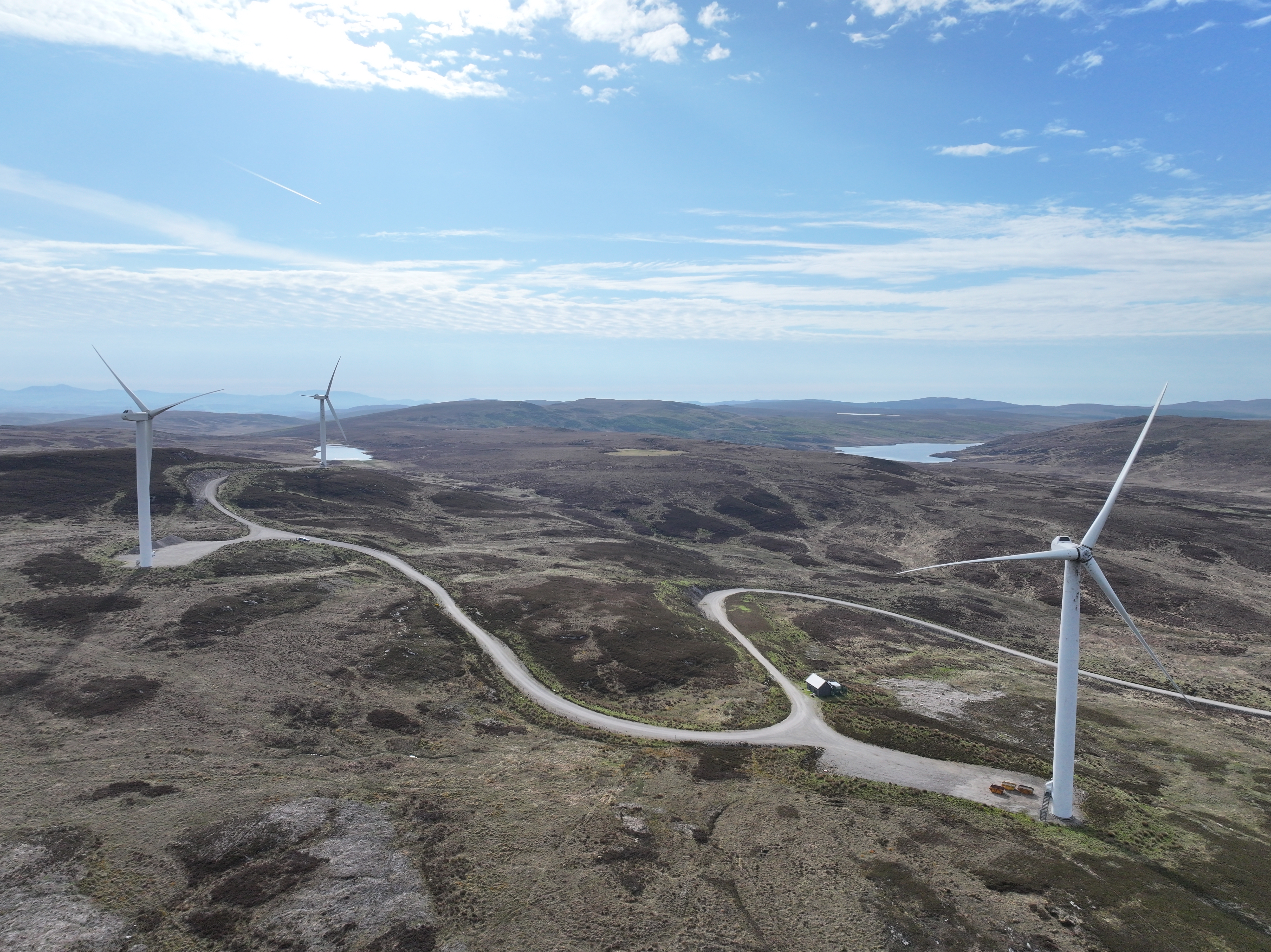
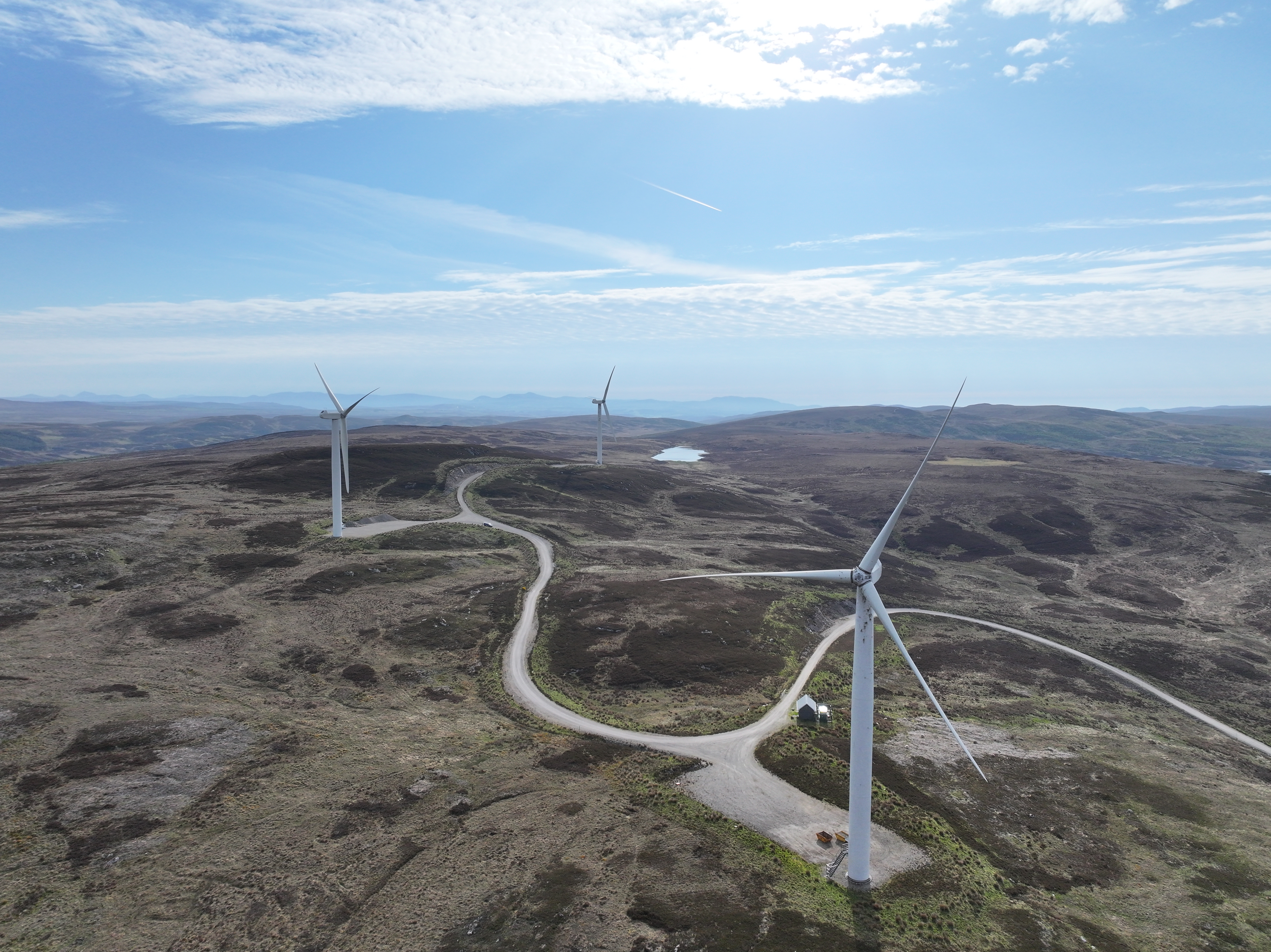
Wind Turbine Inspection and Blade Defect Detection
Wind turbines are impressive but complex structures. Inspecting them has never been easier, thanks to drones. They offer a safe and efficient way to check for blade defects and other issues. Equipped with high-resolution cameras, drones capture every detail of the turbine blades.
This technology allows for detailed inspections without shutting down operations. Regular drone inspections help identify potential problems early, preventing significant downtime. Embrace the future of turbine maintenance and keep turbines spinning effectively.
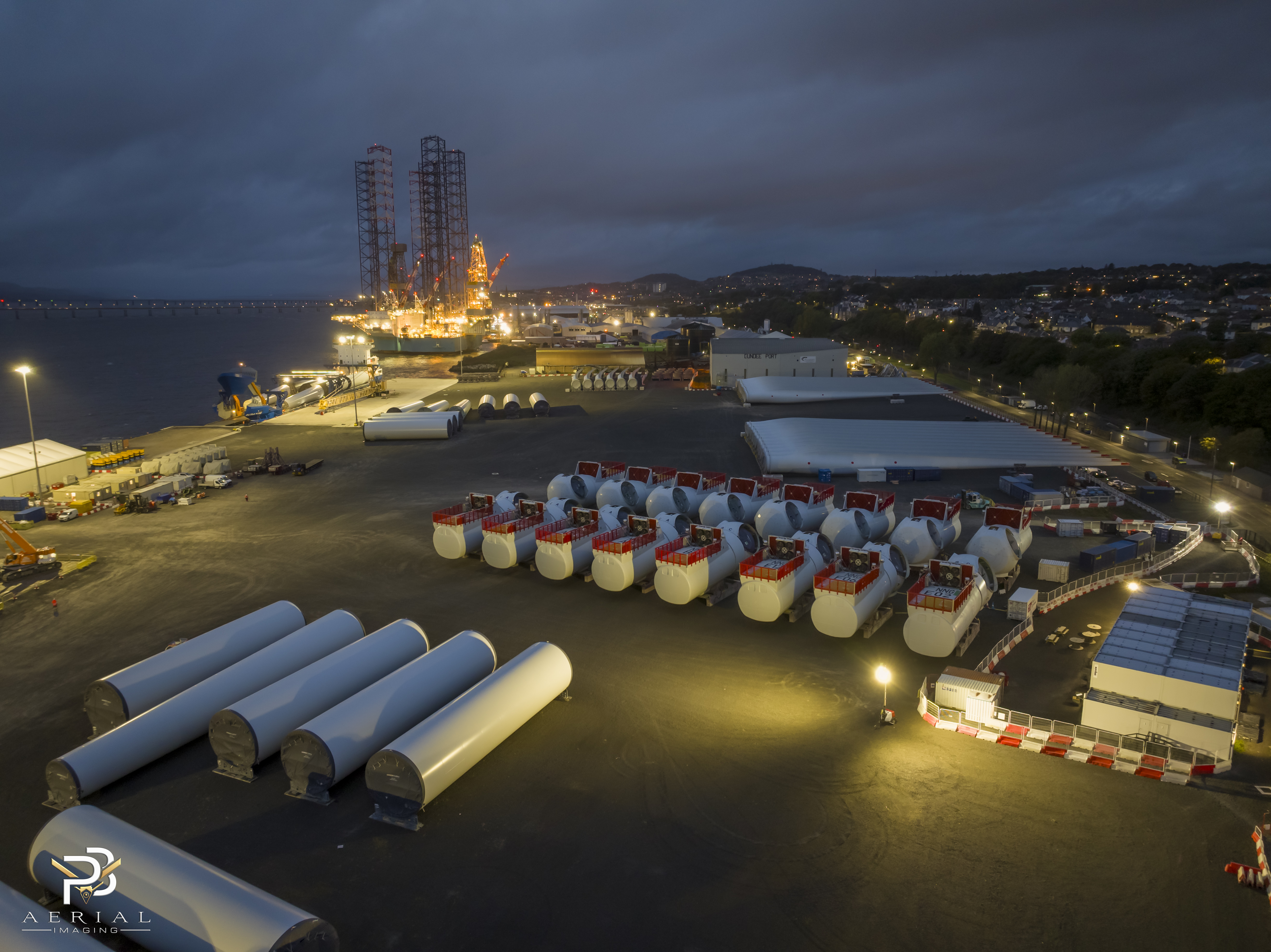
Offshore Drone Inspection with GWO-Certified Pilots
Operating offshore presents unique challenges, but drones rise to the occasion. With GWO-certified pilots, offshore inspections are carried out safely and efficiently. These drones navigate challenging environments, capturing critical data without putting personnel at risk. Discover how drones are enhancing inspections in renewable energy projects.
Offshore drones provide real-time data, allowing for informed decisions on maintenance and repairs. They offer a clear view of installations, ensuring nothing is overlooked. Choose drones for offshore inspections and benefit from safer, more thorough assessments.
Cutting Costs and Timelines
In any project, controlling costs and timelines is crucial. Drones are proving to be the ultimate tool to achieve these goals.
Benefits of Orthomosaic Mapping and 3D Point Cloud
Orthomosaic mapping offers a seamless view of large areas, while 3D point clouds provide detailed, accurate models. This combination is invaluable for precise planning and analysis. Drones compile thousands of images into a single, cohesive map, revealing the terrain’s true nature.
These technologies eliminate the need for multiple surveys, reducing costs and speeding up project timelines. With drones, you gain accuracy without sacrificing time. The longer you postpone adopting this technology, the more you risk overspending.
DSM DTM Survey for Accurate Contour and Volumetrics
For projects involving excavation or land modification, accurate data is key. DSM and DTM surveys provide precise contour and volumetric information. These surveys help you understand the land’s shape and volume, ensuring precise calculations for cut and fill operations.
Utilizing drones for these surveys means fewer errors and reduced project timelines. The data collected ensures efficient use of resources, minimizing waste and maximizing productivity. Most people believe traditional methods suffice, but drones deliver unmatched precision in record time.
Condition Monitoring and Asset Integrity Inspection
Keep your assets in top condition with regular drone inspections. These inspections provide real-time data on the health of your assets, allowing you to plan maintenance effectively. Drones can detect issues early, preventing costly repairs and downtime.
With detailed reports, you can make informed decisions about asset management. Regular monitoring ensures assets remain in optimal condition, extending their lifespan and reducing costs. Choose drones for condition monitoring and experience peace of mind knowing your assets are in great hands.
By integrating drones into your operations, you unlock new levels of efficiency, precision, and safety. Embrace these technologies and watch your projects flourish.
