

From Turbines to Towers: How Advanced Drone Surveys Are Transforming Asset Inspections
Forget what you think you know about asset inspections. Manual checks on wind turbines and construction sites are slow, risky, and costly. Drone surveys UK are cutting inspection times by more than half while improving safety and data quality. In this post, you’ll learn how advanced drone technology is reshaping renewable energy inspections and construction drone mapping—delivering precise, compliant results where others struggle to operate.
Drone Surveys in the UK
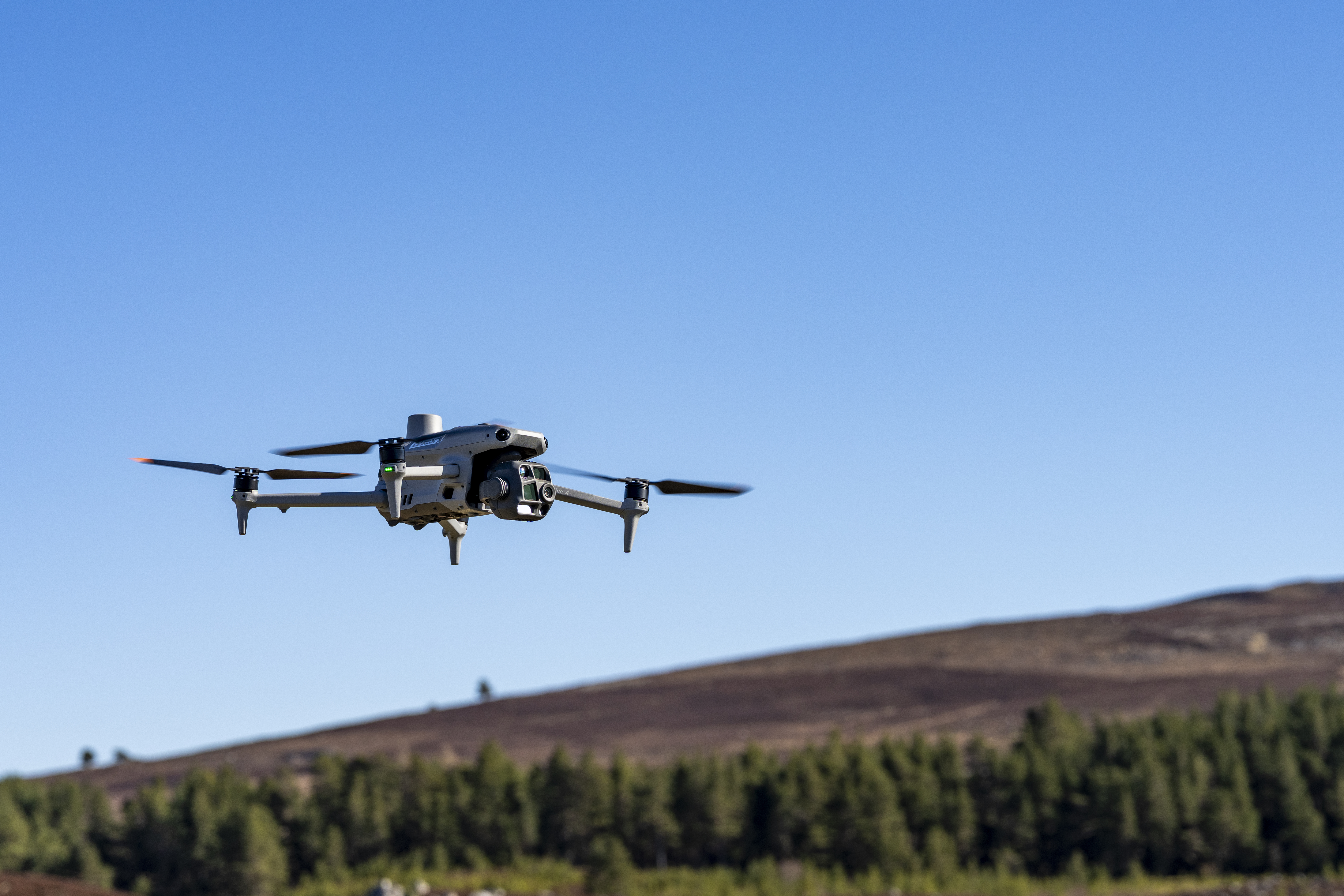
Drones are taking the guesswork out of inspections across the UK, offering a fresh perspective on safety, cost, and efficiency. Let’s explore how drones are changing inspections in renewable energy and construction.
Safety Gains and Risk Reduction
Safety is a top priority in any inspection process. Traditional methods often place workers in risky situations. Drone surveys eliminate the need for workers to climb heights or access hazardous areas. With drones, inspections are conducted from a distance, ensuring everyone stays safe. The use of drones in inspections has resulted in a 40% reduction in worksite accidents. By keeping your team out of harm’s way, you can focus on what truly matters—improving your operations safely.
Cost Savings in Operations
Cost efficiency is another significant benefit of drone surveys. Traditional inspections can be costly, often requiring scaffolding, cranes, or helicopters. Drones bypass these expenses, offering a more affordable solution. For instance, drone inspections can save up to 50% on costs compared to manual checks. With fewer resources needed, you can allocate your budget more effectively. This means more resources for other critical areas of your business, leading to overall better financial health.
Efficiency Boosts in Inspections
Time is money, and drones are speeding up the inspection process. A process that once took days can now be completed in hours. This efficiency allows for more frequent inspections, ensuring that any issues are identified and addressed promptly. Drones equipped with advanced cameras and sensors provide real-time data, giving you insights at lightning speed. The quicker turnaround means less downtime and more time for productive work.
Renewable Energy Inspections
Renewable energy is at the forefront of sustainable solutions. Drones are revolutionising inspections in this sector, providing insights that were once out of reach.
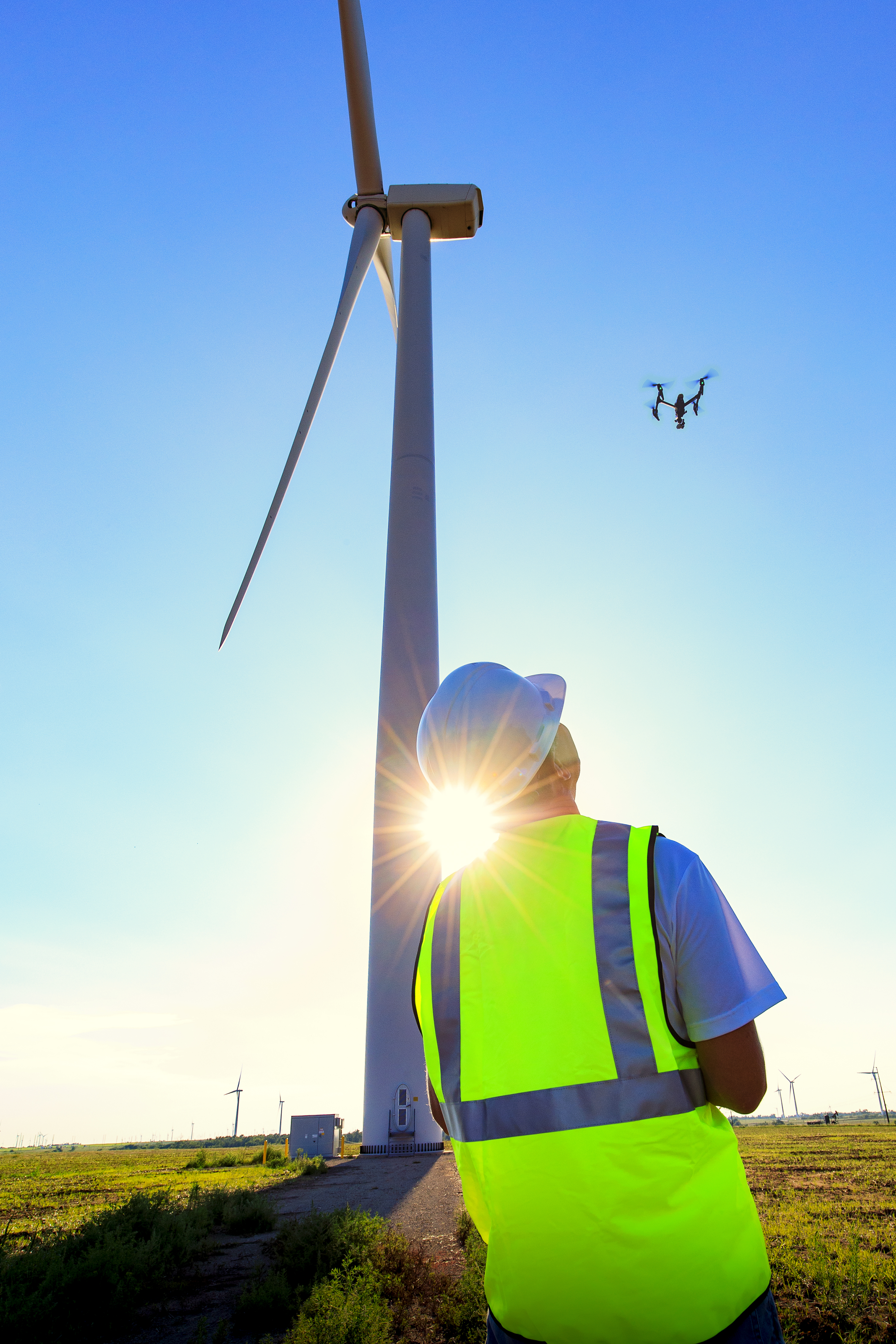
Wind Turbine Drone Inspection
Wind turbines are towering structures, and inspecting them manually is a daunting task. Drones can easily access these heights, capturing detailed images of turbine blades and structures. With drones, you can detect issues like blade erosion or structural damage early. This proactive approach helps prevent costly repairs and extends the lifespan of your turbines. For an in-depth look at drone inspections in renewable energy, visit here.
Solar Farm Thermography
Solar farms require constant monitoring to ensure peak performance. Drones equipped with thermal cameras can identify faulty panels in minutes. By detecting temperature anomalies, drones pinpoint underperforming cells, allowing for quick repairs. This targeted approach maximises energy output, ensuring your solar farm runs efficiently. Efficient solar monitoring is crucial, and drones make it happen seamlessly.
Offshore Drone Inspection
Offshore inspections present unique challenges, but drones are up for the task. Operating in harsh conditions, drones deliver precise data without the need for risky human intervention. They provide a comprehensive view of offshore structures, such as wind farms and oil rigs, highlighting areas that need attention. This capability ensures your offshore assets are maintained in top condition, even in the most challenging environments.
Construction and Infrastructure Mapping
Drones are changing the landscape of construction and infrastructure mapping, providing unparalleled accuracy and detail.
Construction Drone Mapping
Construction sites are busy and complex, making accurate mapping essential. Drones offer detailed aerial views, creating precise maps and models of your site. This data allows for better planning and decision-making. By visualising the site from above, project managers can identify potential issues before they become problems. This proactive approach saves time and money, ensuring your project stays on track.
BIM-Ready Point Cloud Creation
Building Information Modelling (BIM) is crucial for modern construction projects. Drones capture the data needed to create BIM-ready point clouds, offering a 3D view of your site. These detailed models are essential for accurate planning and execution. With BIM-ready data, you can ensure that all stakeholders have a clear understanding of the project, reducing errors and improving collaboration.
Volumetric Survey by Drone
Accurate volume measurements are critical in construction. Drones provide precise volumetric surveys, measuring stockpiles, excavation sites, and more. This data helps in assessing material needs and costs, ensuring efficient resource management. By using drones for volumetric surveys, you can optimise operations, reduce waste, and keep projects within budget.
In conclusion, drones are transforming asset inspections across various sectors. They enhance safety, reduce costs, and improve efficiency, making them an invaluable tool in today’s fast-paced world. With their ability to deliver precise and timely data, drones are setting new standards in inspection and mapping. Embrace this technology to stay ahead and ensure your operations are as efficient and safe as possible.
