

Unlocking Success: The Impact of High-Resolution Aerial Mapping on Infrastructure Projects
Most infrastructure projects stumble over hidden inaccuracies in site data. You know how costly delays and reworks can be when construction site analysis misses critical details. High-resolution aerial mapping changes the equation by delivering precise, actionable insights that directly boost infrastructure project success. In this post, you’ll learn how precision drone technology and aerial surveys from UK drone services redefine project planning and execution. For more insights on how aerial mapping is transforming the construction industry, visit this link.
Enhancing Infrastructure Project Success

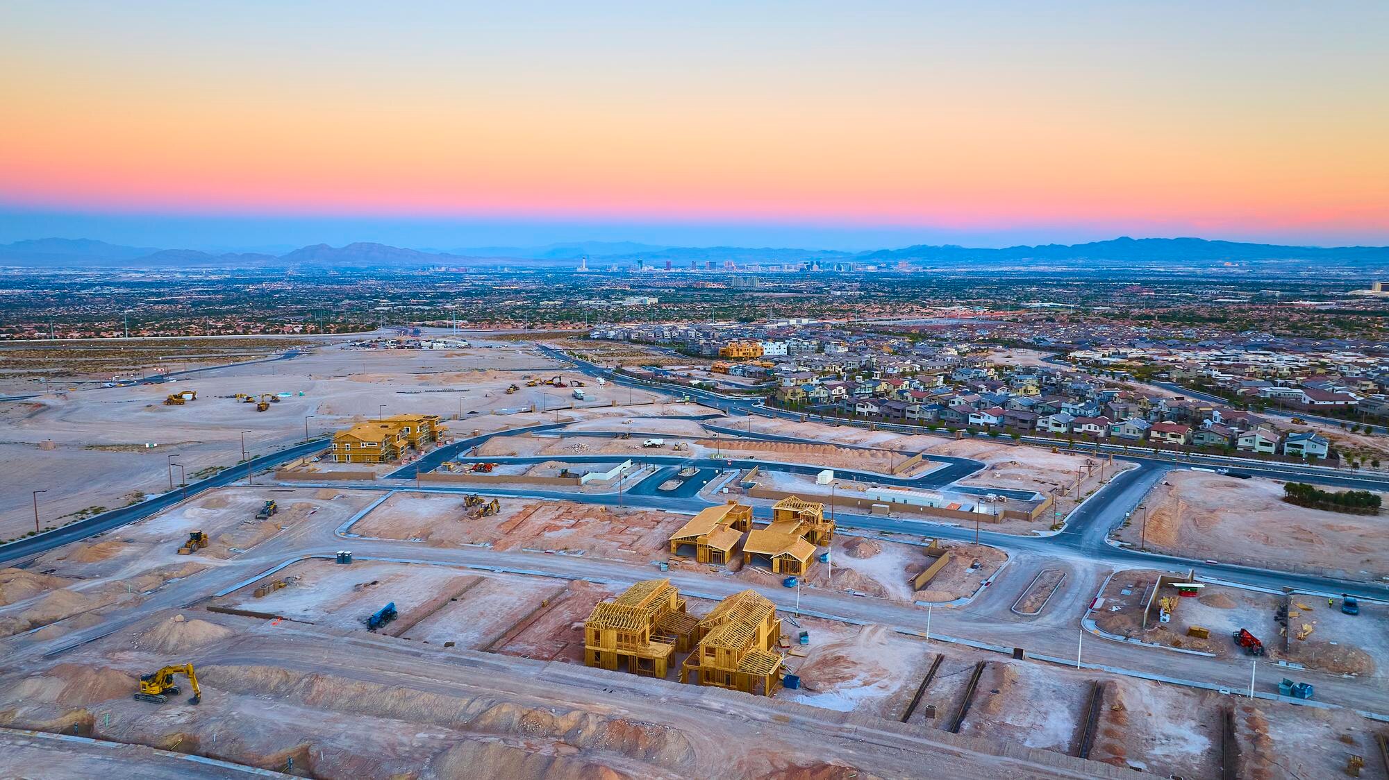
High-resolution aerial mapping is transforming how infrastructure projects are planned and executed. With unparalleled precision, these tools offer new ways to tackle common challenges in construction and beyond.
Benefits of High-Resolution Aerial Mapping
Imagine having a bird’s eye view of your entire project site. High-resolution aerial mapping provides exactly that, offering clarity and detail previously unattainable. This technology helps reduce errors and improve decision-making.
-
Improved Accuracy: When every detail matters, aerial mapping provides the precision you need. It captures high-resolution images that ensure no aspect of your site is overlooked.
-
Cost Savings: By catching potential issues early, you save money on reworks and delays. The upfront investment in mapping can lead to significant long-term savings.
-
Enhanced Planning: With comprehensive site data, you can plan more effectively. Identify potential obstacles before they become problems, streamlining your entire project.
Curious how this technology speeds up and enhances construction projects? Explore more in this detailed article.
Precision Drone Technology in Action
The magic of precision drone technology lies in its ability to capture and process vast amounts of data quickly. This capability is revolutionizing construction site analysis.
-
Rapid Data Collection: Drones can survey large areas in a fraction of the time it takes traditional methods. This speed doesn’t sacrifice detail, ensuring you get a complete picture fast.
-
High-Resolution Outputs: With drones, you get images of incredible quality. These images reveal minute details, assisting in making informed decisions.
-
Adaptability: Whether you’re working in urban environments or remote locations, drones can easily adapt to different site conditions, providing consistent results every time.
To learn more about the advantages of aerial mapping in construction, check out this comprehensive resource.
Improving Construction Site Analysis
With aerial mapping, the accuracy and efficiency of construction site analysis reach new heights. This section explores how precise data contributes to better project planning and execution.
Accuracy and Efficiency in Planning
Planning is at the heart of successful infrastructure projects. High-resolution aerial mapping ensures you have the precise data needed to plan effectively.
-
Site Understanding: Gain a deep understanding of your site’s topography and existing features. This knowledge helps avoid costly surprises during construction.
-
Resource Allocation: Allocate resources more effectively based on detailed site data. Ensure every aspect of your project is adequately supported.
-
Risk Management: Anticipate potential risks with accurate data, allowing for proactive measures rather than reactive fixes.
Want to know how aerial mapping streamlines large-scale site clean-up coordination? Discover more here.
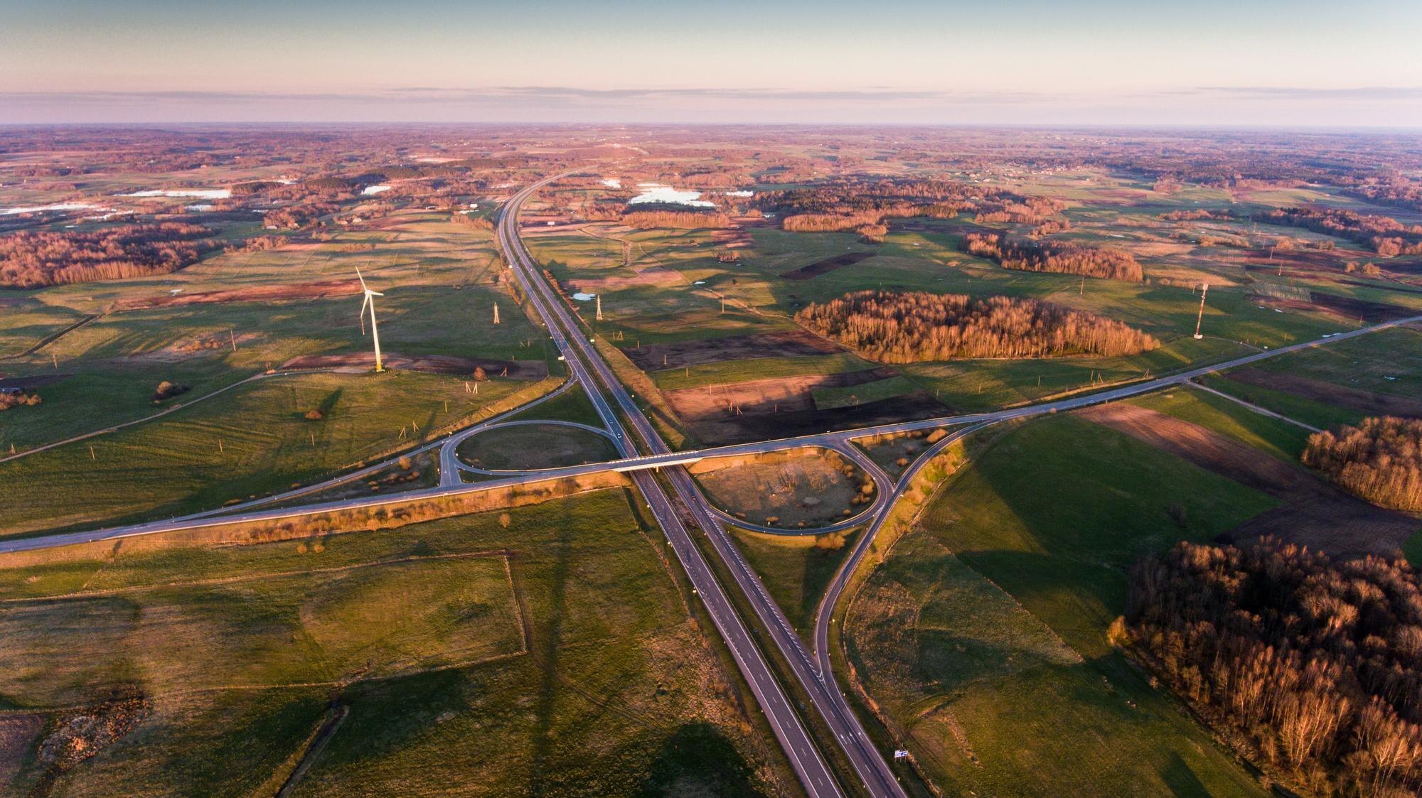
Detailed Aerial Surveys for Better Execution
Executing a project with precision requires detailed insights. Aerial surveys provide the necessary data to turn plans into reality efficiently.
-
Comprehensive Surveys: Conduct thorough surveys of your site, capturing details traditional methods might miss. This leads to better-informed decisions.
-
Real-Time Adjustments: Use up-to-date data to make real-time adjustments. This flexibility is crucial in keeping projects on track.
-
Enhanced Communication: Share high-quality survey data easily with your team. Clear visuals improve communication and collaboration.
Learn more about how aerial mapping technology navigates grid challenges in infrastructure projects in this informative guide.
The Role of UK Drone Services
UK drone services are at the forefront of providing the precision needed for modern infrastructure projects. Their expertise in drone technology ensures projects are executed with excellence.
Expertise in Drone Technology
When you partner with experts, you gain access to unparalleled knowledge and technology. UK drone services bring that expertise to every project.
-
Experienced Operators: Skilled operators ensure data is collected accurately and efficiently. Their experience makes a significant difference in project outcomes.
-
Cutting-Edge Equipment: With the latest drone technology, you receive the highest quality data. This technology enhances the reliability and precision of your project information.
-
Industry Insight: A deep understanding of various industries ensures tailored solutions that meet your specific project needs.
Advanced Solutions for Infrastructure Projects
Drone services offer advanced solutions that elevate project success. By integrating precise data with innovative technology, they redefine what’s possible in infrastructure planning and execution.
-
Customised Solutions: Every project is unique. Drone services provide bespoke solutions that address your specific challenges and goals.
-
Innovative Approaches: Embrace new methods and technologies that improve efficiency and outcomes. Stay ahead of the curve with cutting-edge solutions.
-
Sustainable Practices: Use technology that minimises environmental impact and promotes sustainable project delivery.
In summary, high-resolution aerial mapping is a game-changer in infrastructure projects. From planning to execution, the precision and insights it offers ensure success at every stage. Consider integrating these technologies into your next project for enhanced results.
