
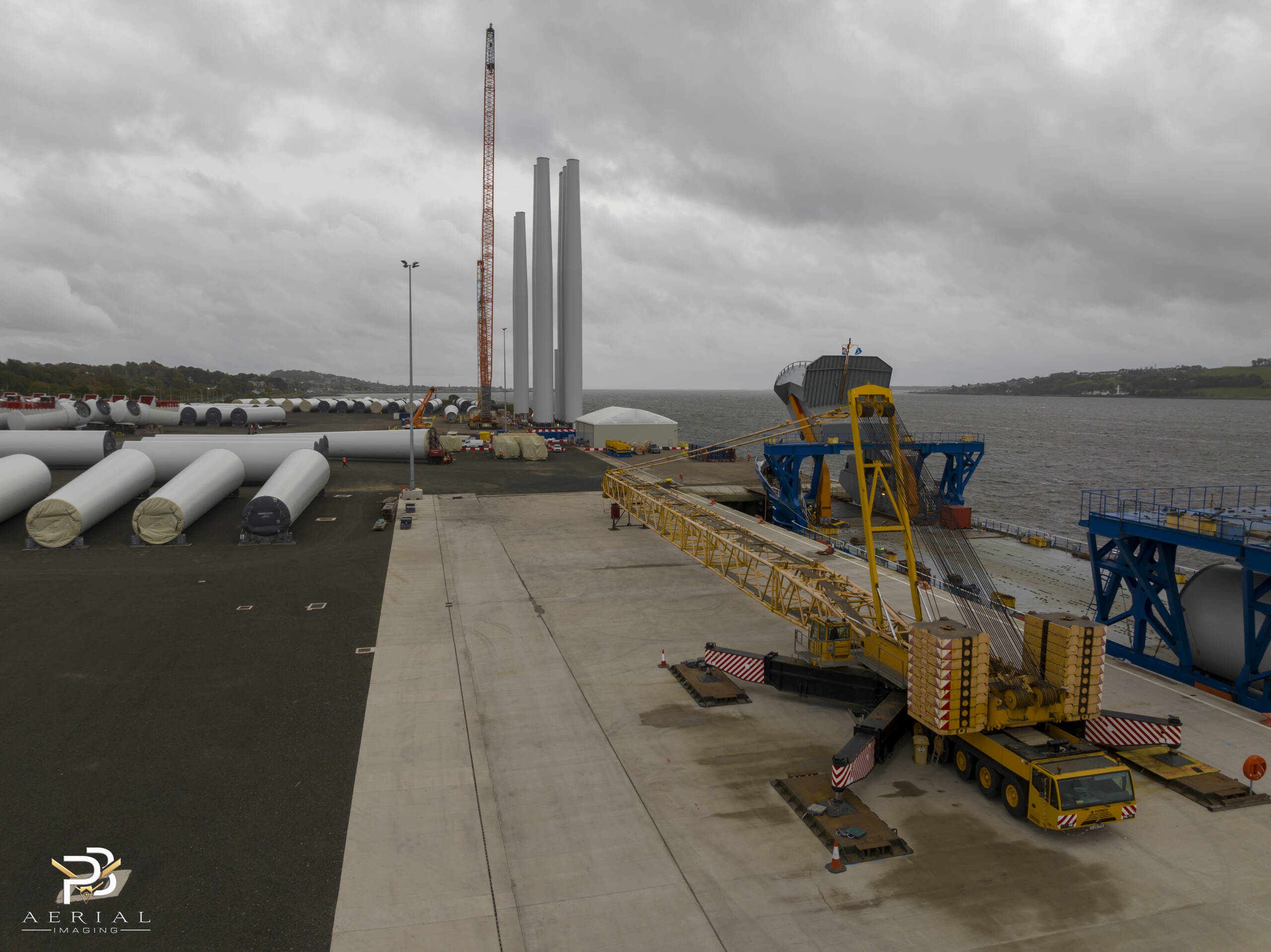
Drone inspection planning remains a critical challenge for offshore, renewable energy, and industrial assets. You know the stakes: missed defects lead to costly downtime and safety risks. This guide breaks down proven strategies to streamline your inspections while meeting strict UK and EU compliance standards. Read on to learn how PB Aerial Imaging’s offshore-qualified team delivers precise, data-rich results tailored to your asset’s unique needs.
Best Practices for Drone Inspection Planning
Key Considerations for Offshore Assets
Planning drone inspections for offshore assets requires keen attention to environmental and operational variables. You need inspections that not only detect issues but also fit seamlessly into ongoing operations. Offshore environments present unique challenges such as varying weather conditions and restricted access areas. Therefore, choosing the right time and weather window for the inspections is crucial. A well-planned inspection can prevent downtime and enhance safety protocols, safeguarding both assets and personnel.
Offshore assets, like wind farms, demand precise data to ensure optimal performance. With drones, you can conduct inspections without the risks associated with manual methods. Drones equipped with cutting-edge sensors offer detailed visuals that are crucial for identifying potential problem areas. By considering these factors, you can ensure your asset remains operational and safe, reducing the risk of failures and costly repairs.
Ensuring Compliance with Regulations
Adhering to regulations is non-negotiable in drone operations. In the UK and EU, compliance with standards like CAA Operational Authorisation and EASA is crucial. These regulations ensure that drone operations are conducted safely and legally. For offshore activities, GWO certification is essential for demonstrating the ability to operate in challenging environments. By ensuring compliance, you protect your operations from legal pitfalls and enhance safety.
Compliance isn’t just about ticking boxes; it’s about understanding and integrating safety protocols into every aspect of your operations. This proactive approach not only keeps your operations legal but also builds trust with stakeholders. A compliant operation is a safe operation, which translates to fewer accidents and greater operational efficiency.
Selecting the Right Sensor Suite
Selecting the right sensors for your drone inspections can significantly impact the quality and usefulness of the data collected. Different inspections require different types of sensors: thermal imaging for detecting heat anomalies, LiDAR for creating accurate 3D models, and multispectral cameras for assessing vegetation health. Your choice should align with the specific needs of your project to provide the most relevant data.
For example, in renewable energy inspections, thermal cameras can pinpoint hotspots in solar panels, enabling targeted maintenance. Meanwhile, LiDAR sensors can offer precise mapping of wind turbine blades, identifying minute imperfections that could lead to larger issues. By choosing the right sensor suite, you enhance the quality of your inspections and ensure actionable insights.
Navigating Challenges in Offshore Inspections
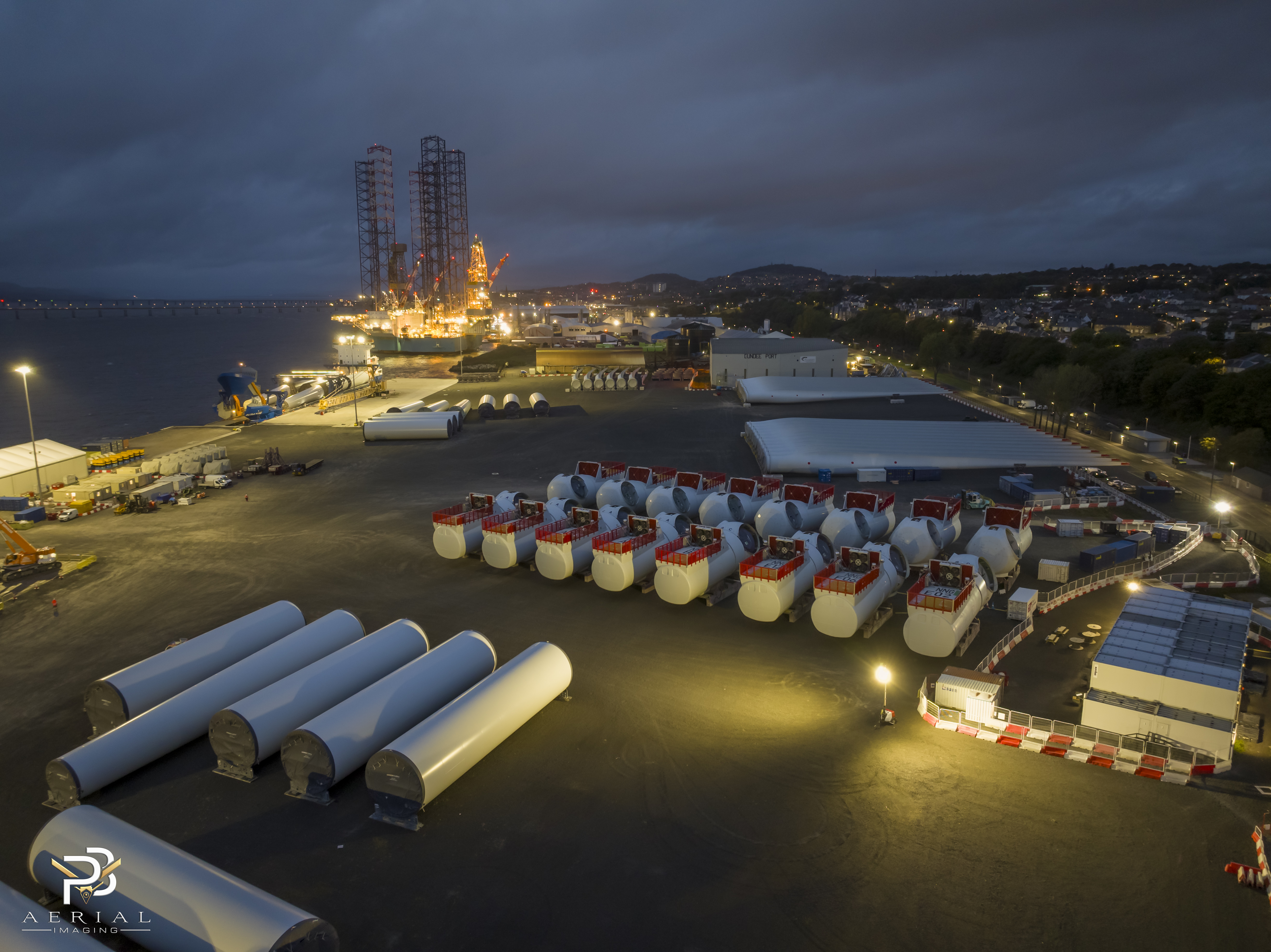
Coordinating SIMOPS and HSE Compliance
Simultaneous operations (SIMOPS) and Health, Safety, and Environment (HSE) compliance are central to offshore inspections. Coordinating these elements requires meticulous planning to ensure that inspections do not interfere with other operations. By integrating HSE standards into your planning, you protect workers and assets from potential hazards, ensuring a smooth operation.
Understanding the dynamics of SIMOPS is vital. It involves synchronising drone flights with ongoing operations to minimise disruptions. By managing these elements effectively, you reduce the risk of accidents and maintain operational continuity. This approach not only ensures safety but also optimises the inspection process.
Managing Offshore Logistics and Safety
Offshore logistics present unique challenges that require careful management. From transportation to equipment handling, each aspect must be meticulously planned to ensure safety and efficiency. Effective logistics management enables timely inspections, reducing downtime and ensuring that assets remain in peak condition.
Safety is paramount in offshore inspections. Drones eliminate the need for risky manual inspections, but it’s essential to ensure that drone operations themselves are conducted safely. This involves thorough risk assessments and adherence to safety protocols, which collectively enhance the safety of your operations.
Mitigating Risks in Confined Spaces
Confined spaces pose significant risks during inspections. Drones offer a safer alternative to traditional inspection methods, reducing the need for human entry into dangerous areas. By using drones, you minimise the risk of accidents and enhance the overall safety of your operations.
However, operating drones in confined spaces requires specialised skills and equipment. It’s crucial to select drones that are equipped to handle these environments, ensuring that inspections are conducted efficiently and safely. This approach not only enhances safety but also improves the accuracy of the data collected, providing valuable insights for asset maintenance.
Delivering Data-Rich Outcomes
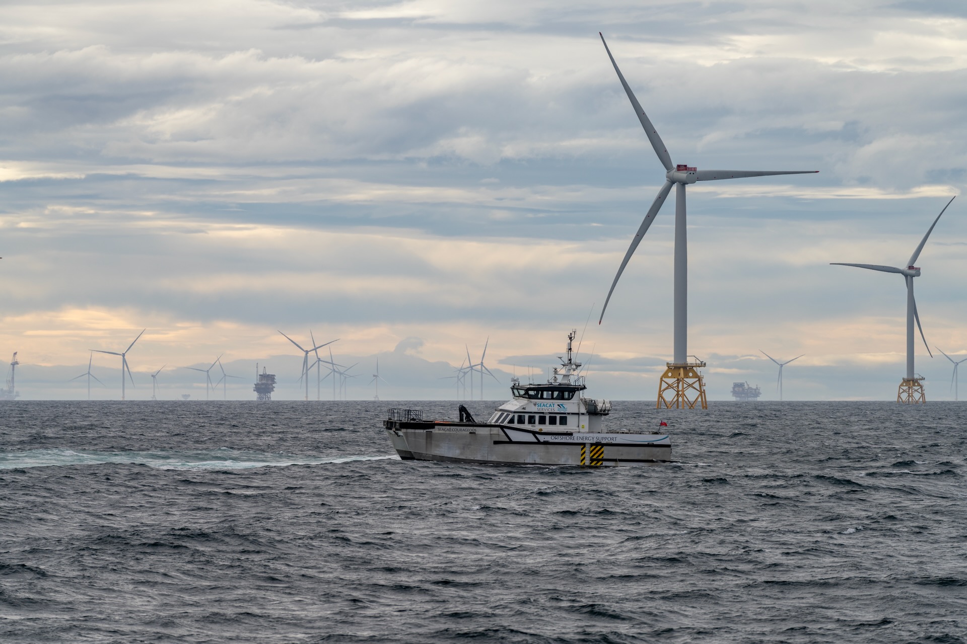
High-Quality Defect Reporting
Accurate defect reporting is critical in maintaining asset integrity. Drones equipped with high-resolution cameras can capture detailed images that facilitate precise defect identification. This capability enables early intervention, preventing minor issues from escalating into major problems that could disrupt operations.
By using drones for defect reporting, you gain access to comprehensive data that supports informed decision-making. This approach not only enhances maintenance strategies but also extends the lifespan of assets, ensuring they operate at peak efficiency.
Leveraging Orthomosaic Mapping and 3D Models
Orthomosaic mapping and 3D modelling offer unprecedented insights into asset conditions. These tools create high-accuracy visualisations that are essential for planning maintenance and assessing structural health. By leveraging these technologies, you gain a clearer understanding of your assets, enabling proactive maintenance strategies.
Orthomosaic maps provide detailed overviews of large areas, facilitating the identification of patterns and anomalies. Meanwhile, 3D models offer a detailed view of specific structures, highlighting areas that require attention. These tools are integral to modern inspection strategies, providing the data needed to maintain asset integrity.
Benefits of Aerial Thermography and Imaging
Aerial thermography offers significant advantages in identifying issues that are not visible to the naked eye. It detects heat anomalies that can indicate potential problems, such as overheating equipment or faulty components. By incorporating aerial thermography into your inspections, you enhance the accuracy and effectiveness of your maintenance strategies.
Thermal imaging is particularly beneficial in renewable energy sectors, where it can pinpoint underperforming solar panels or wind turbine components. By identifying these issues early, you can implement targeted maintenance, ensuring that your assets continue to operate efficiently and effectively.
Frequently Asked Questions
What are the key benefits of drone inspections for offshore assets?
Drone inspections provide safe, efficient access to hard-to-reach offshore assets, reducing the need for manual inspections. They offer detailed data through advanced sensors, enabling early detection of defects and informed maintenance decisions.
How do drone operations ensure compliance with UK and EU regulations?
Compliance is ensured by adhering to standards like CAA Operational Authorisation and EASA guidelines. Offshore operations require GWO certification, demonstrating the ability to safely operate in challenging environments.
What sensors are essential for drone inspections in renewable energy sectors?
Thermal imaging sensors are crucial for detecting heat anomalies in solar panels and wind turbines. LiDAR sensors create accurate 3D models, while multispectral cameras assess vegetation health, enhancing inspection accuracy.
How do drones improve safety during inspections?
Drones eliminate the need for risky manual inspections in confined or hard-to-reach areas. They provide detailed data from a safe distance, reducing the risk to personnel and enhancing overall safety protocols.
What role does orthomosaic mapping play in drone inspections?
Orthomosaic mapping offers high-accuracy visualisations of large areas, facilitating the identification of patterns and anomalies. It supports maintenance planning and structural assessments, providing essential data for asset management.
