
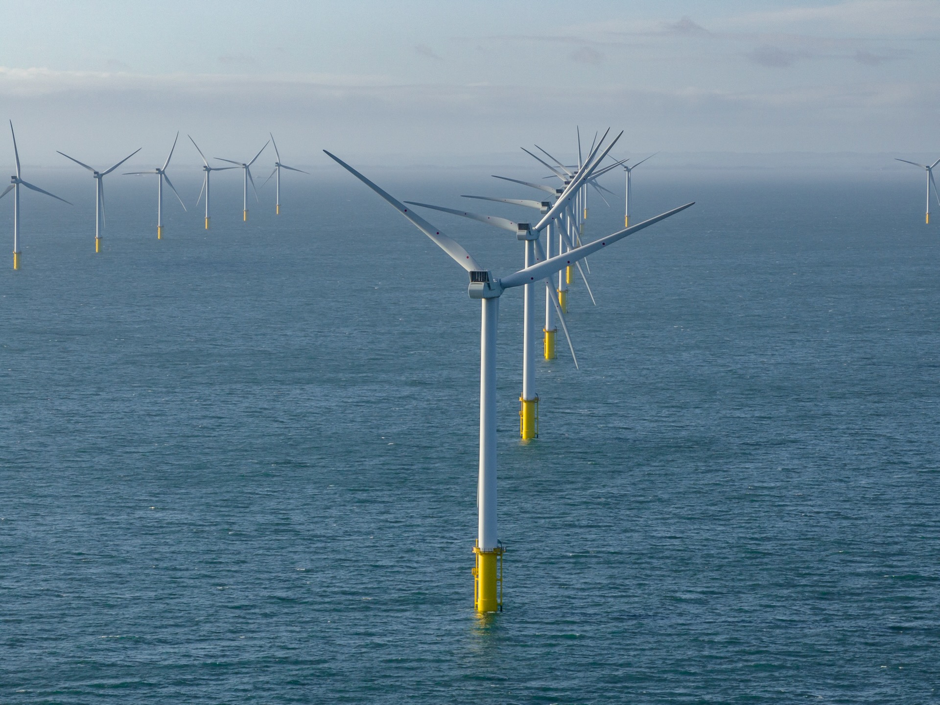
Offshore drone inspections demand precision and expertise that most providers can’t match. When your projects rely on flawless aerial surveys UK, every detail matters—from thermal drone inspection to orthomosaic mapping. PB Aerial Imaging combines GWO qualified drone pilots with advanced technology to deliver reliable results in the toughest environments across the UK and EU. Here’s how we operate where others can’t.
Expertise in Offshore Drone Inspections
PB Aerial Imaging excels in offshore settings, where tough conditions test the best. Our commitment to precision sets us apart in demanding environments.
Safety and Compliance Standards
Safety is at the heart of everything we do. We prioritise strict adherence to all safety protocols. Our certifications ensure that we operate safely and efficiently, meeting industry standards. This focus on safety gives you peace of mind, knowing that every project is conducted with the utmost care.
Asset Integrity and Detailed Reporting
Maintaining the integrity of your assets is crucial. Our drone inspections provide high-resolution imagery, helping you spot potential issues before they become costly problems. With detailed reports, you can make informed decisions about maintenance and repairs. This proactive approach saves you time and money, protecting your valuable assets.
GWO Qualified Drone Pilots
Our team is made up of experienced GWO qualified drone pilots. This means we can tackle the most challenging projects with confidence. Our pilots are trained to handle complex situations, ensuring accurate and reliable results. You can trust that your project is in capable hands.
Precision Aerial Surveys and Mapping
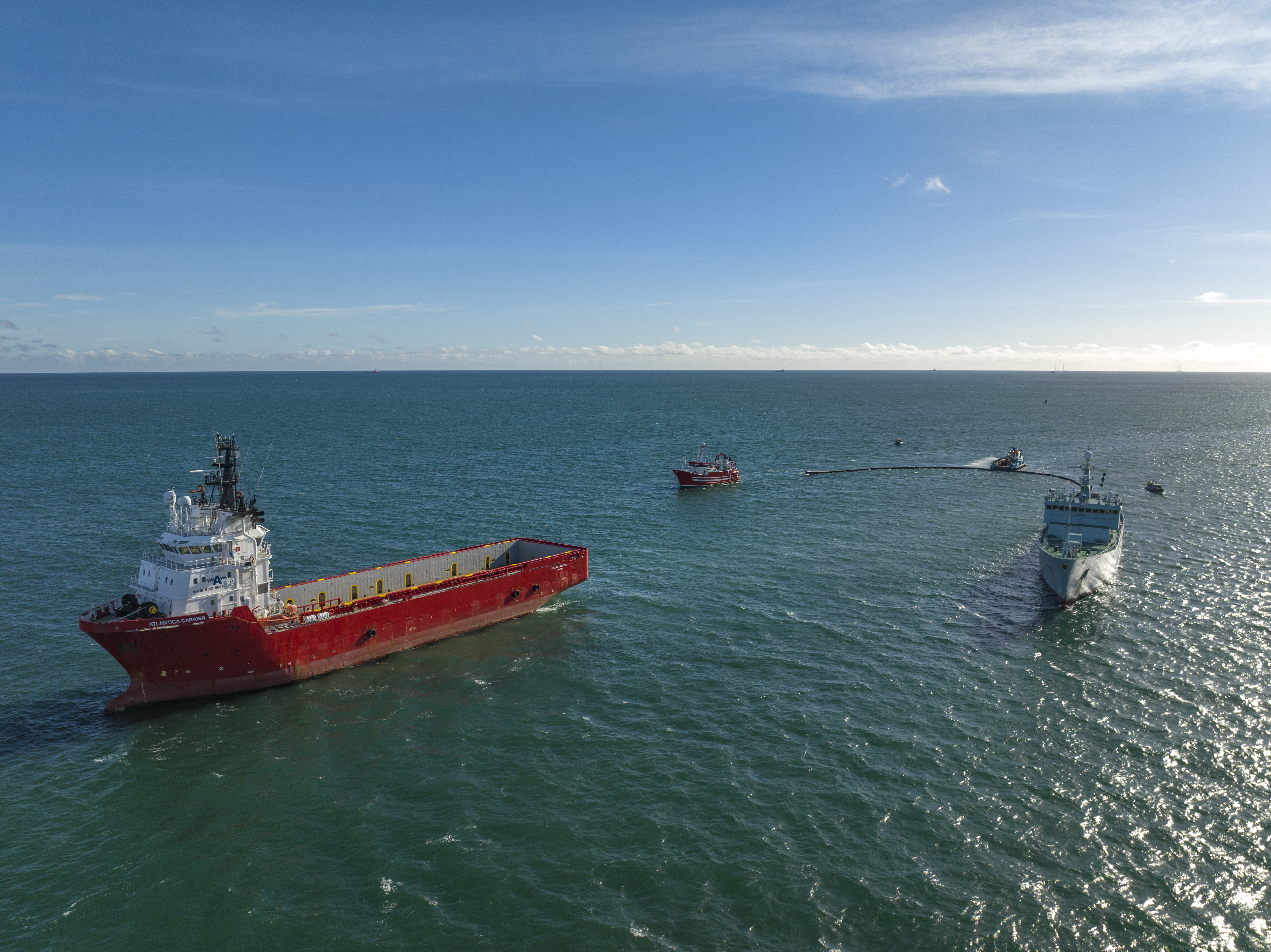
From orthomosaic mapping to peatland restoration surveys, our precision aerial surveys offer unmatched detail and accuracy.
RTK Photogrammetry Techniques
Our RTK photogrammetry techniques provide precise data for your mapping needs. This technology offers centimetre-level accuracy, making it ideal for construction and infrastructure projects. By using the latest advancements, we ensure that your maps are detailed and reliable, supporting your planning and development goals.
Orthomosaic and DSM/DTM Deliverables
With orthomosaic and DSM/DTM deliverables, you gain comprehensive insights into your site. These tools offer a complete view, helping you understand the terrain and make informed decisions. Whether you’re planning a new construction project or monitoring an existing site, our deliverables give you the clarity you need to succeed.
Construction and Peatland Projects
Our services are tailored to meet the unique needs of construction and peatland projects. We provide accurate data that supports site planning and progress monitoring. By using our aerial surveys, you can ensure that your project stays on track and within budget. This attention to detail helps you achieve your goals efficiently and effectively.
Cinematic Aerial Filming for Media
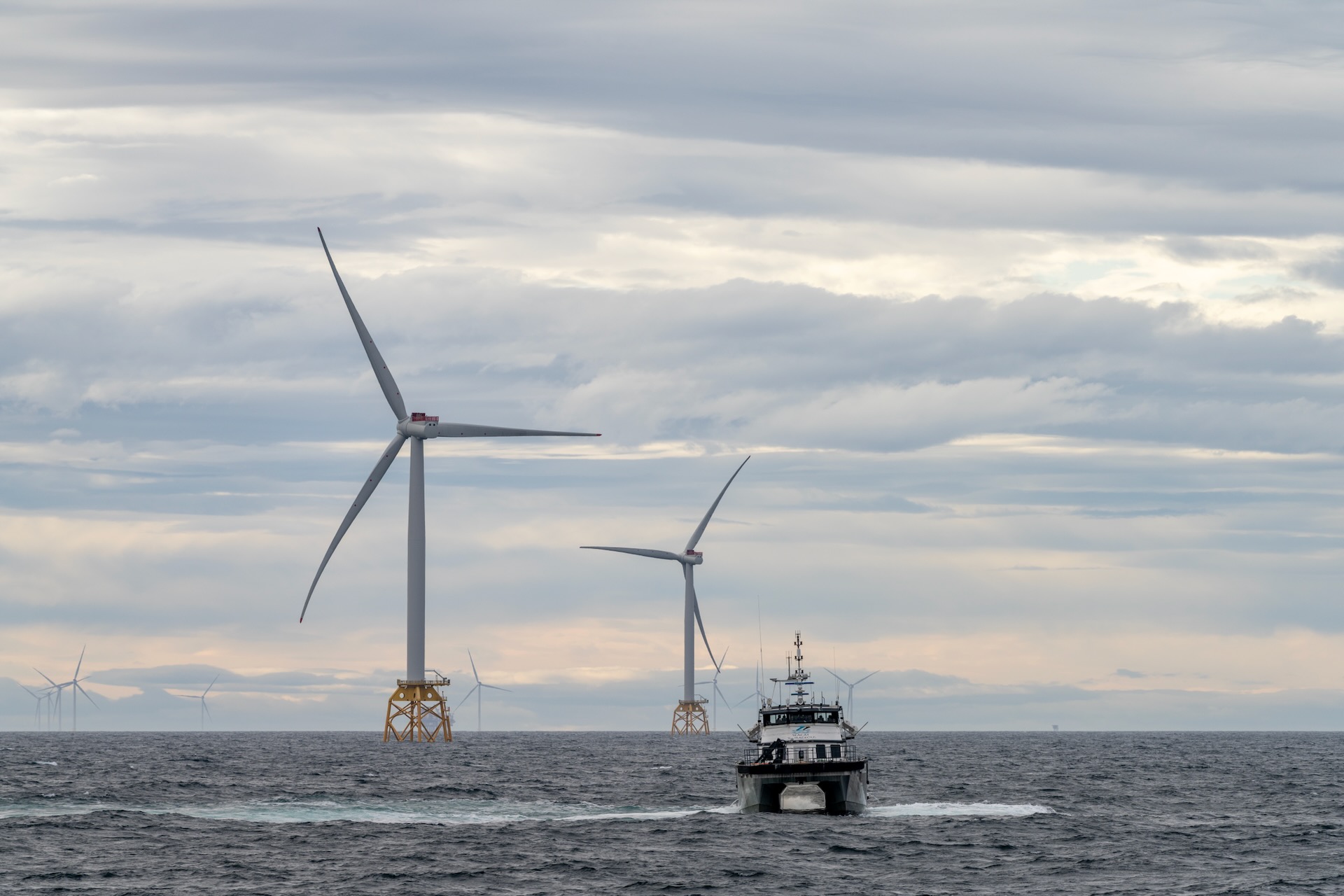
Bringing your creative vision to life with cinematic drone filming is our speciality.
Dynamic Film and TV Productions
Our drones capture stunning visuals that elevate film and TV productions. We deliver dynamic shots that enhance storytelling, providing a fresh perspective that captivates audiences. With our expertise, you can create visually engaging content that stands out in a crowded market.
Storyboard-Aligned Drone Shots
We work closely with directors and producers to ensure our drone shots align with your storyboard. This collaboration ensures that every shot contributes to your narrative, adding depth and richness to your production. Our attention to detail helps you tell your story with clarity and impact.
Broadcast-Ready Deliverables
Our deliverables are broadcast-ready, ensuring that your project meets industry standards. We provide high-quality footage that requires minimal post-production work, saving you time and effort. By choosing PB Aerial Imaging, you gain a partner dedicated to delivering excellence in every project.
Frequently Asked Questions
What are the benefits of using drones for offshore inspections?
Drones offer a safe, efficient way to inspect offshore assets. They provide high-resolution imagery that helps identify potential issues early, saving time and reducing costs associated with manual inspections.
How accurate is RTK photogrammetry for mapping projects?
RTK photogrammetry offers centimetre-level accuracy, making it highly reliable for detailed mapping projects. This precision supports construction planning and development, ensuring that maps are both detailed and dependable.
Can drone filming be used for both film and TV productions?
Yes, drone filming is perfect for both film and TV productions. Our drones capture dynamic, cinematic visuals that enhance storytelling and engage viewers, making them a valuable tool for any media project.
What kind of projects benefit from orthomosaic deliverables?
Orthomosaic deliverables are beneficial for construction, infrastructure, and peatland restoration projects. They provide comprehensive site overviews, supporting planning and progress monitoring with detailed and accurate data.
How do GWO qualified pilots enhance drone operations?
GWO qualified pilots bring expertise and confidence to complex drone operations. Their training ensures safe and accurate results, giving you peace of mind that your project is in capable hands.
