
Choosing the right drone service for your commercial project is more complex than picking the flashiest footage or quickest inspection. Whether you need drone inspections, aerial surveys, or cinematic drone filming, each option demands careful consideration of your objectives, compliance rules, environment, and budget. This guide breaks down these factors so you can select the ideal aerial solution with confidence—and see how PB Aerial Imaging brings precision and expertise to every flight.
Understanding Drone Services
Choosing the right drone service is crucial for achieving your project’s goals. Let’s explore the key differences and benefits of each service.
Key Differences Explained
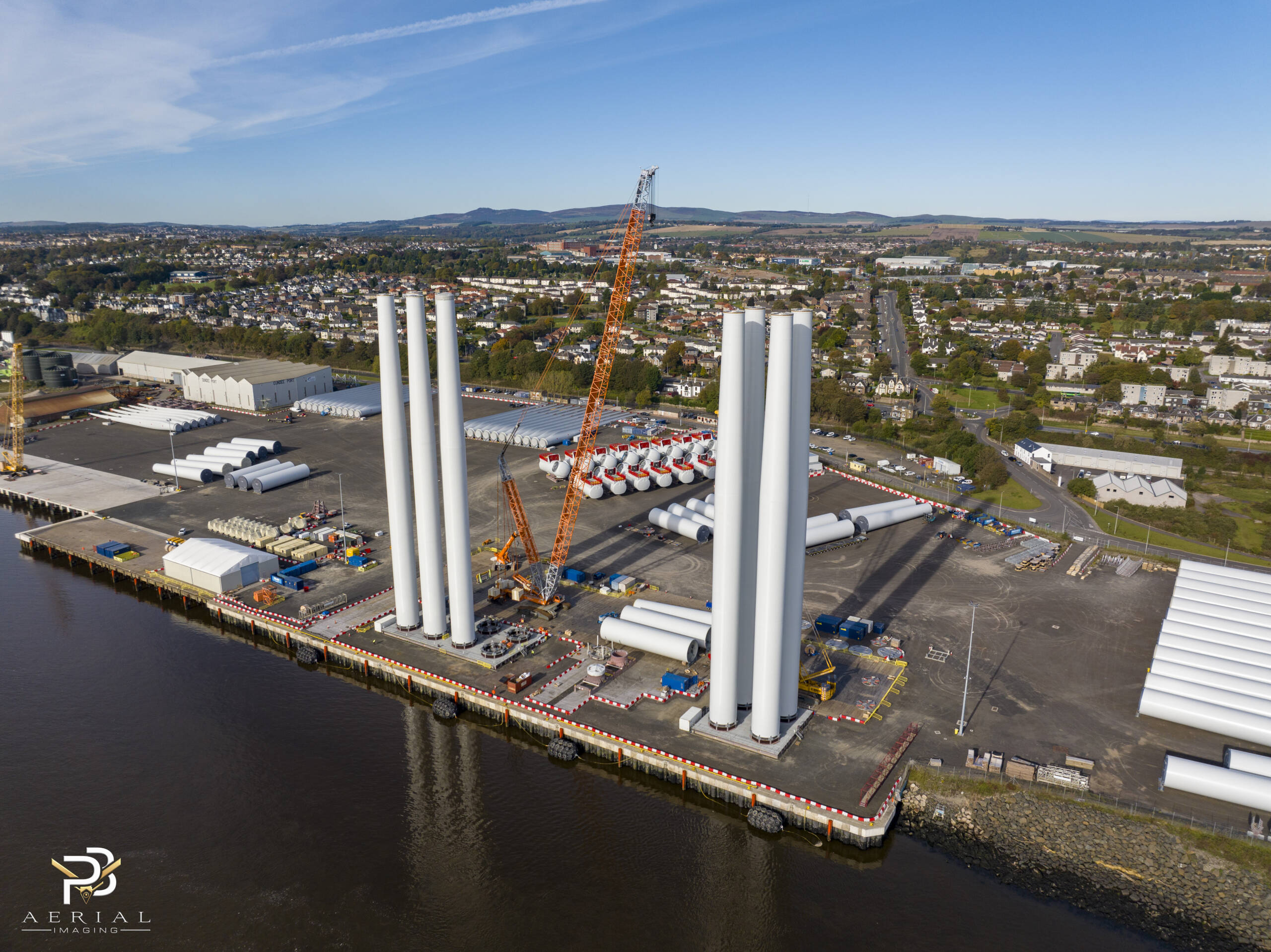
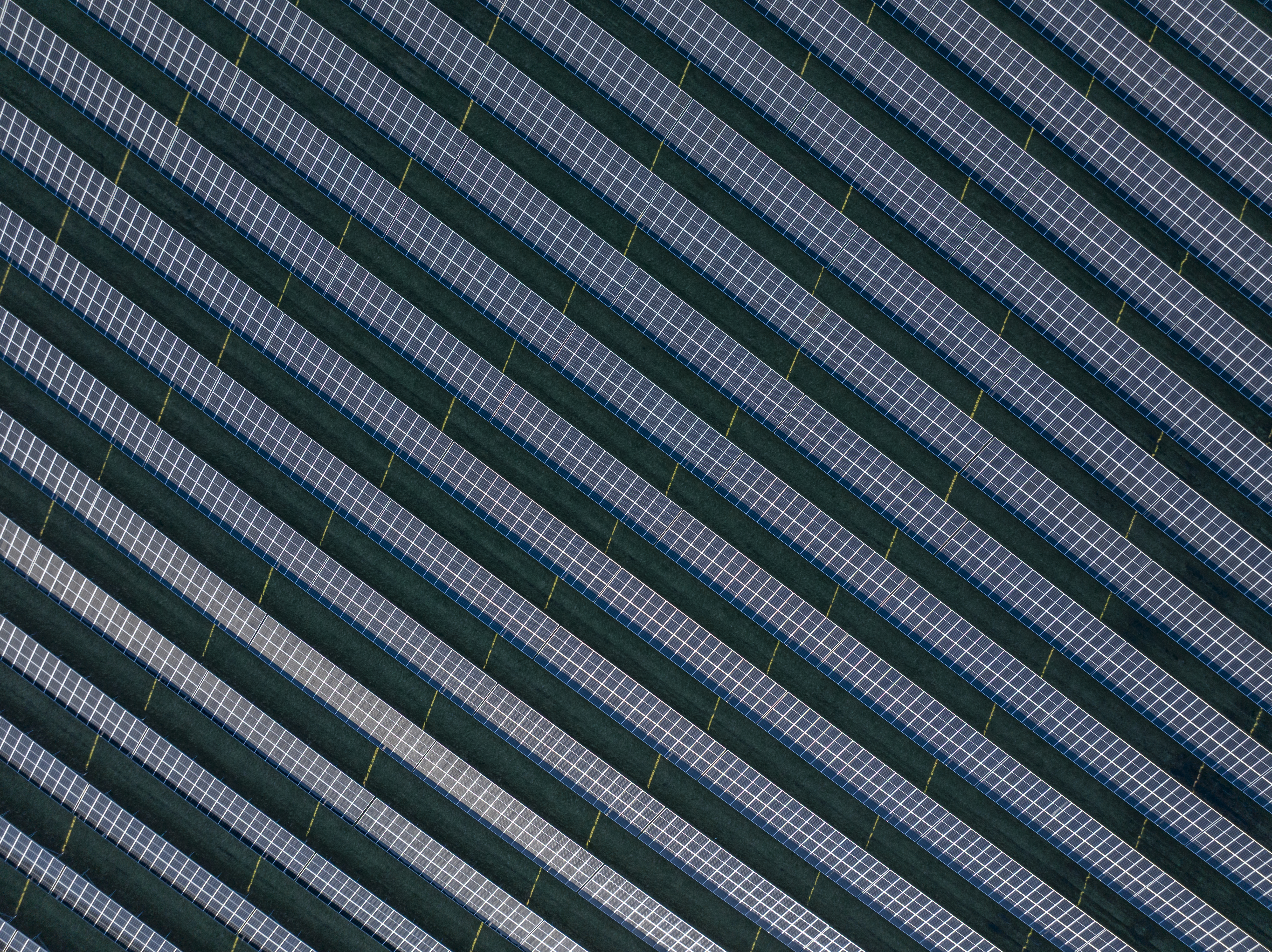
Drone services vary widely in their applications. Drone inspections focus on providing detailed visuals for asset management, capturing hard-to-reach areas like wind turbines or solar panels. Aerial surveys gather high-precision data for mapping and planning, ideal for construction sites or environmental assessments. Meanwhile, cinematic drone filming delivers stunning visuals for media projects, enhancing storytelling with breathtaking aerial shots.
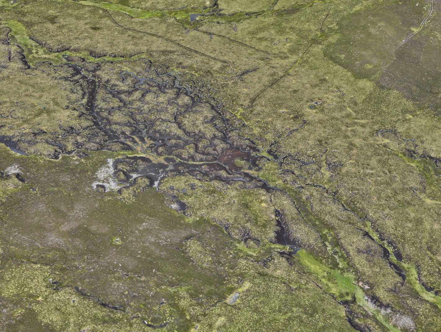
Each service serves a unique purpose. Inspections often involve high-resolution cameras to ensure asset condition and safety. In contrast, aerial surveys use advanced sensors for accurate data collection, crucial for projects like peatland restoration. Cinematic filming prioritises creative angles and smooth footage, perfect for captivating media audiences. Understanding these differences helps you choose the right service for your needs.
Benefits of Each Service
Each drone service offers distinct advantages. Drone inspections provide quick, safe access to difficult locations, reducing the need for costly scaffolding or cranes. This approach not only saves time but also enhances safety by minimising risk to personnel. Aerial surveys deliver comprehensive data with precision, enabling informed decision-making in projects like construction planning or environmental monitoring. The use of technologies like RTK (Real-Time Kinematic) enhances accuracy, making it suitable for detailed mapping tasks.
Cinematic drone filming offers a unique perspective that traditional methods can’t match. Whether for film, TV, or marketing, the ability to capture sweeping aerial views adds a dramatic impact to visual storytelling. This service is ideal for showcasing properties, tourist destinations, or events, providing an engaging way to connect with audiences. By leveraging these benefits, you can choose the drone service that aligns with your project’s objectives.
Selecting the Right Aerial Service
Selecting the right aerial service involves evaluating your project’s specific needs. Let’s delve into how you can make an informed choice.
Evaluating Project Objectives
Start by clearly defining your project’s objectives. If your goal is to inspect assets, identify the specific structures or systems involved. For example, wind turbine inspections require detailed examination of blades and components. If you’re conducting aerial surveys, determine the area and type of data needed, such as topographic information for construction planning. For cinematic filming, outline the visual style and scenes you want to capture, ensuring the footage aligns with your creative vision.
Consider the end-use of the data or visuals. Inspections typically feed into maintenance schedules or safety reports. Surveys inform planning and development, while cinematic projects aim to engage audiences. By understanding your objectives, you can prioritise the right drone service.
Considering Compliance and Environment
Compliance is a critical factor in drone operations. Ensure your provider is a CAA compliant drone operator, especially in regulated areas like offshore sites. The environment also plays a role. Offshore drone inspections require operators skilled in challenging conditions, while urban settings might necessitate additional permits. Assess the environment’s impact on flight paths, weather conditions, and access restrictions.
Providers like PB Aerial Imaging are experienced in navigating these complexities. They offer expertise in regulatory compliance and environment-specific challenges, ensuring your project adheres to all necessary guidelines.
Budget and Timeline Considerations
Budget and timeline are key constraints in any project. Begin by outlining your financial limits and deadlines. Drone services vary in cost, depending on factors like equipment used and project complexity. Asset inspection drones might offer cost savings compared to traditional methods, but ensure the provider’s technology meets your needs.
Timeline is equally important. Discuss expected turnarounds with providers, especially if your project is time-sensitive, like a solar farm survey. Ensure the drone service you choose can deliver within your stipulated timeframe, balancing both cost and quality.
Engaging PB Aerial Imaging
Once you’ve identified your needs, partnering with the right provider is crucial. Here’s how PB Aerial Imaging can support your project.
Customised Proposals and Consultations
PB Aerial Imaging offers bespoke solutions tailored to your project’s requirements. Through detailed consultations, they provide customised proposals that align with your objectives and constraints. Whether you need a construction site mapping or a film and TV aerial cinematography project, their team ensures clarity on deliverables and timelines. This personalised approach guarantees that your project’s unique needs are met with precision.
Expertise and Technology Highlights
PB Aerial Imaging excels with their extensive experience and cutting-edge technology. With a focus on high-quality outputs, they utilise advanced drones for tasks ranging from industrial drone inspections to aerial imaging Scotland. Their expertise in challenging environments, like offshore and industrial settings, sets them apart. By integrating the latest technology with industry-specific knowledge, they deliver reliable and accurate results every time.
Frequently Asked Questions
What are the advantages of using drones for inspections?
Drones offer safe access to difficult locations, reducing the need for scaffolding or cranes. They provide high-resolution visuals, enhancing maintenance and safety assessments.
How do aerial surveys benefit construction projects?
Aerial surveys deliver precise data for planning and development. Technologies like RTK ensure accuracy, making them ideal for mapping tasks in construction.
What makes cinematic drone filming unique?
Cinematic drone filming captures creative angles and smooth footage, enhancing visual storytelling. It’s perfect for media projects, offering a unique perspective traditional methods can’t match.
How do I ensure compliance with drone operations?
Choose providers who are CAA compliant and experienced in regulatory guidelines. They ensure your project adheres to necessary legal requirements.
What should I consider when selecting a drone service provider?
Evaluate your project’s objectives, compliance needs, and budget. Choose providers with expertise in your industry and the technology to meet your specific requirements.
