
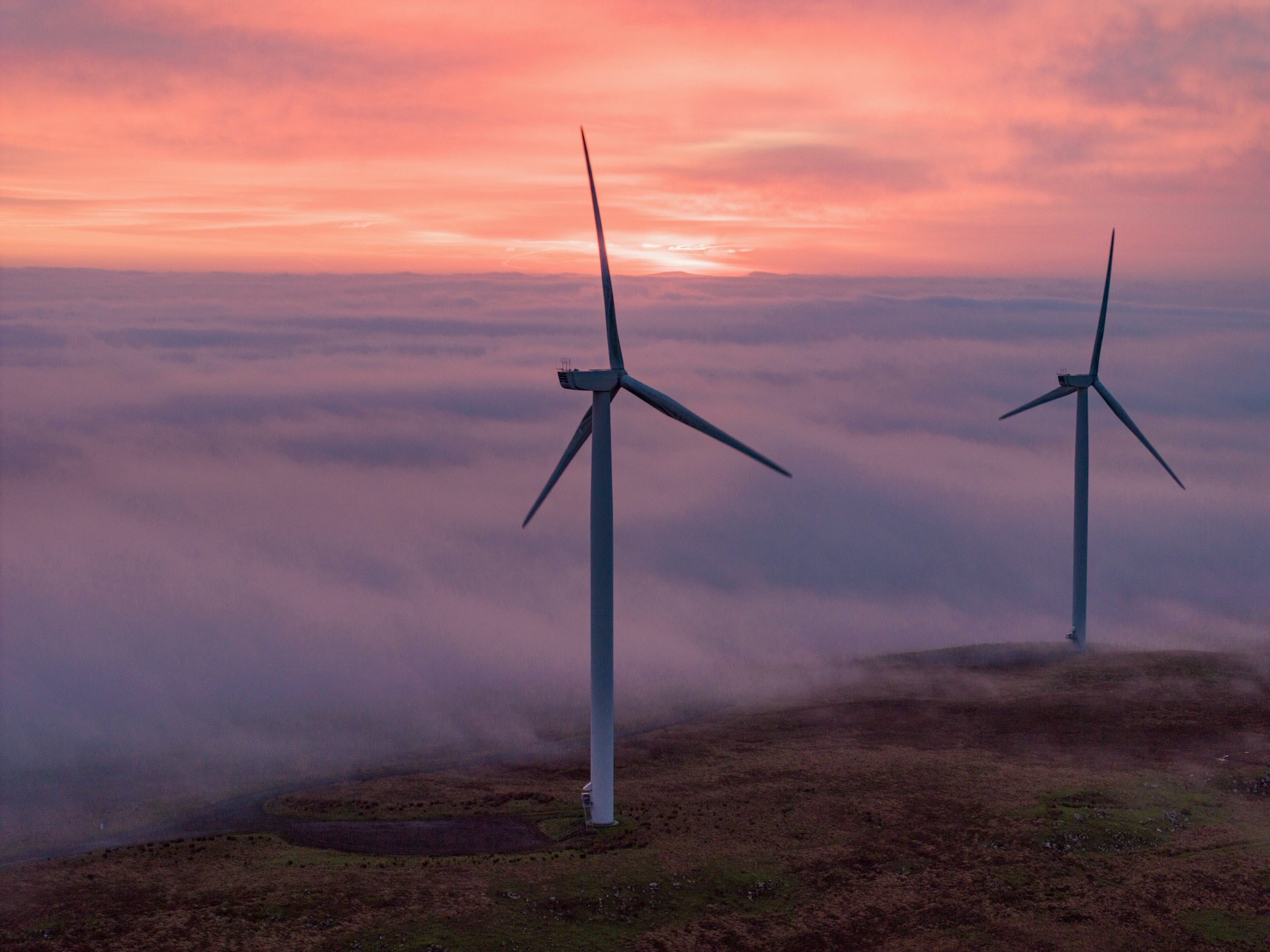
Most drone inspections UK still follow outdated methods that risk delays and missed details. You know the challenge: planning complex offshore drone inspection campaigns with tight compliance and safety demands. This guide lays out a clear, practical framework for your technical projects—from wind turbine blade inspection to cinematic aerial filming—backed by PB Aerial Imaging’s proven expertise and certified pilots.
Planning Drone Inspections
Understanding the Project Requirements
Your first step in planning a drone inspection is defining what you need. Are you looking to inspect wind turbine blades or conduct a solar farm thermography? Clarify the specifics of your project. This helps in setting clear goals and expectations. Knowing the exact type of inspection or survey you need ensures you select the right tools and operators. For instance, asset integrity inspection demands high-resolution visuals, while cinematic filming needs a different approach. Understanding your project’s scope is crucial: it avoids missteps and ensures timely completion.
Selecting the Right Drone Technology
Choosing the right drone technology can make or break your project. Different tasks require different tools. For inspections, you might need drones equipped with thermal imaging to spot minute faults. For mapping, drones with RTK/PPK photogrammetry capabilities are essential. Consider your environment too. Offshore drone inspections need robust equipment that withstands harsh conditions. Opt for technology that supports your data needs, whether it’s generating CAD-ready survey outputs or detailed orthomosaic and point cloud models for construction monitoring.
Compliance and Safety Considerations
Safety and compliance are non-negotiable in drone operations. Ensuring your drone activities align with regulations like the CAA Operational Authorisation is crucial. Offshore projects require additional safety protocols, often needing GWO certified drone pilots. Always prioritise safety: it’s essential not just for compliance but for protecting your team and equipment. Following safety guidelines also fosters trust with stakeholders, showing you’re committed to responsible operations.
Executing Surveys and Cinematic Filming
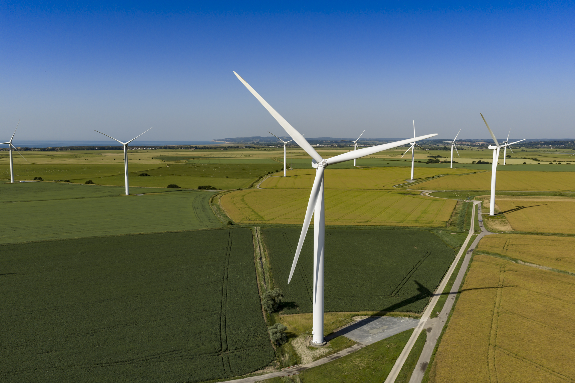
GWO Certified Drone Pilots
Having GWO certified drone pilots is a game-changer for your projects. These professionals bring a level of expertise that ensures safe and efficient operations, especially in challenging offshore environments. Their training prepares them to handle a variety of conditions without compromising on safety or data quality. When you work with certified pilots, you benefit from their extensive knowledge and skills, leading to superior project outcomes.
RTK/PPK Photogrammetry and LiDAR
Precision in data collection is non-negotiable. That’s where RTK/PPK photogrammetry and LiDAR come into play. These technologies provide accurate, high-resolution data crucial for mapping and surveys. Whether it’s for peatland restoration mapping or construction progress monitoring, using these methods ensures you get the detail you need. They transform complex landscapes into comprehensible data, allowing for informed decision-making and project progression.
Delivering CAD-Ready Survey Outputs
Delivering CAD-ready survey outputs is essential for integrating drone data into your larger project workflows. This compatibility ensures seamless transitions from data collection to actionable insights. It means your survey results can be directly used in planning and development stages, saving time and resources. Access to such precise data aids in refining project plans and supports efficient resource allocation.
Offshore and Onshore Applications
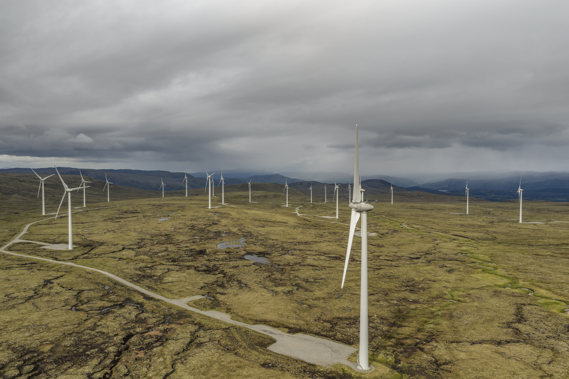
Wind Turbine and Solar Farm Inspections
Wind turbine and solar farm inspections require a meticulous approach. Drones excel in providing comprehensive views of these structures, ensuring no detail is overlooked. They can swiftly identify areas needing maintenance, reducing downtime and enhancing operational efficiency. By employing drone inspections, you gain a proactive approach to asset management, catching potential issues before they escalate.
Oil and Gas Infrastructure Surveys
In the oil and gas sector, the stakes are high. Infrastructure surveys need to be precise and safe. Drones equipped for flare stack inspection by drone offer a non-intrusive way to gather vital information without halting operations. This method enhances safety and reduces inspection time significantly. High-quality drone surveys provide a reliable means to maintain and inspect crucial infrastructure efficiently.
Film and TV Productions in the UK and EU
Cinematic aerial filming in the UK and EU offers a fresh perspective for film and TV productions. With drones, directors can capture breathtaking visuals that were once impossible. Whether it’s a sweeping landscape shot or a dramatic aerial view, drones provide the flexibility and creativity needed for compelling storytelling. They allow for unique, dynamic shots that enhance the narrative and captivate audiences.
Frequently Asked Questions
What are the benefits of using drones for inspections?
Drones offer safe, efficient, and detailed inspection capabilities. They reduce the need for manual inspections, lowering safety risks and operational downtime. Drones quickly gather high-resolution data for informed decision-making.
How do I ensure compliance with drone operations?
Ensure your operations meet regulations like CAA Operational Authorisation and use GWO certified pilots for specific projects. Compliance involves understanding and following safety guidelines relevant to your project environment.
What technologies enhance drone survey accuracy?
RTK/PPK photogrammetry and LiDAR technologies enhance accuracy by providing high-resolution data. These technologies are crucial for mapping and surveys, offering precise data for informed decision-making.
Why are GWO certified drone pilots important for offshore projects?
GWO certified pilots bring specialised training for challenging environments, ensuring operations are conducted safely and efficiently. Their expertise is crucial for successful offshore projects, maintaining high safety and quality standards.
Can drones be used in film and TV production?
Yes, drones are increasingly used in film and TV production for capturing dynamic aerial shots. They provide unique perspectives and flexibility, enhancing storytelling with stunning visuals.
