
Drone-based Environmental Impact Assessments enhance accuracy, safety, and efficiency with high-resolution data, hazardous area access, rapid analysis, and GIS-ready outputs, revolutionizing environmental surveys and monitoring.
This guide details UK CAA and EASA drone regulations, safety protocols, RAMS, certified pilots, and advanced techniques like EVLOS and RTK for compliant, precise offshore drone inspections in wind, oil,…
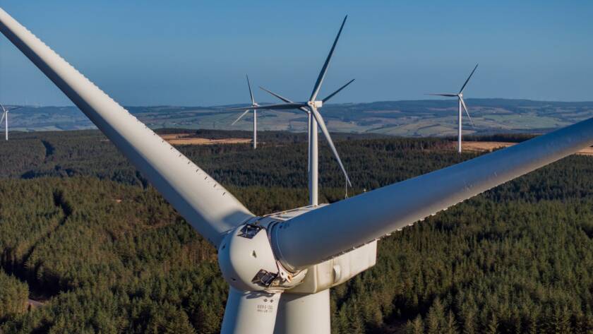
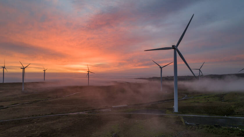
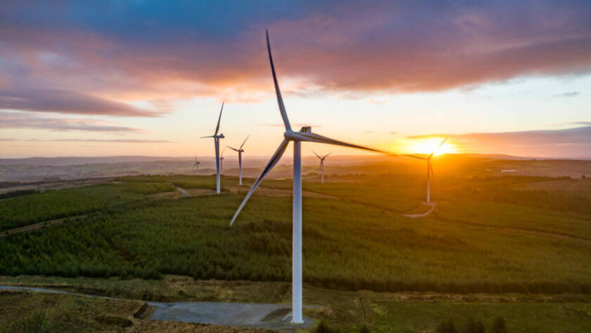
Advanced drone mapping and thermal imaging enhance construction and renewable energy projects by providing precise RTK surveys, progress monitoring, cut/fill analysis, solar thermography, turbine inspections, offshore asset checks, and detailed…

PB Aerial Imaging’s advanced drone thermography offers precise thermal imaging for renewable energy inspections and wildlife management, enhancing asset maintenance, safety, and conservation efforts efficiently.
This guide details UK CAA and EASA drone regulations, certifications (GVC, A2 CofC), risk assessments (SORA, RAMS), GDPR compliance, and offshore drone applications in energy and industry.
Drone mapping and thermal imaging enhance construction and renewable energy projects by providing precise, cost-effective surveys, real-time monitoring, BIM-ready models, and efficient inspections, improving accuracy, safety, and timelines.
Precision drone mapping offers centimetre-level accuracy, accelerating construction workflows, reducing risks, and enhancing environmental monitoring with sustainable, data-driven solutions. PB Aerial Imaging provides expert, compliant, and tailored services for reliable,…

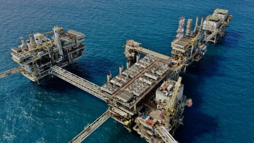
GWO and BOSIET certifications ensure safety, compliance, and efficiency in offshore drone operations. PB Aerial Imaging offers certified, expert drone inspection services with advanced imaging solutions.

This guide details offshore drone operations from planning to delivery, emphasizing safety, compliance, advanced technology, precise inspections, and high-quality data for wind turbine and oil platform maintenance.
Advanced drone surveys in the UK enhance asset inspections by improving safety, cutting costs by up to 50%, and boosting efficiency, transforming renewable energy and construction site monitoring.
Unlocking Uptime: Drone Thermal Imaging for Renewable Energy Asset Inspections You spend hours managing renewable energy assets only to face unexpected downtime that drains your budget and delays projects. Drone…
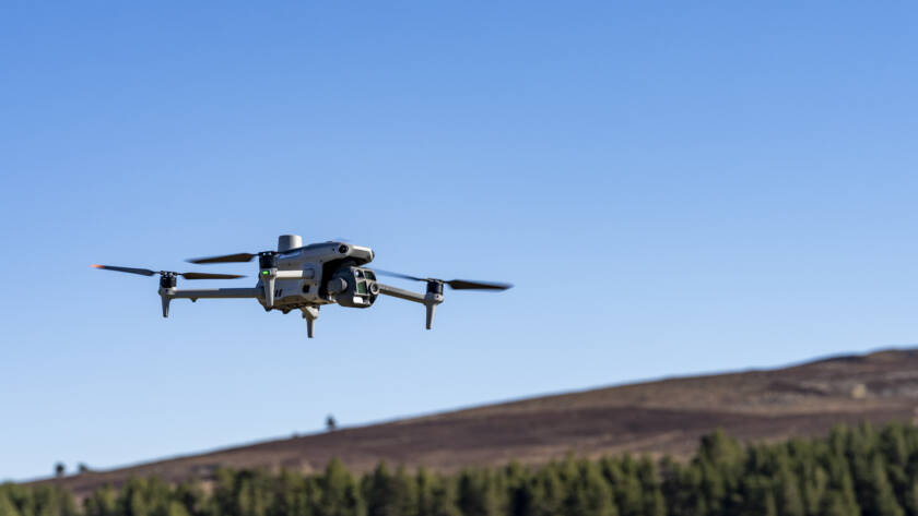
PB Aerial Imaging’s autonomous drones use AI, RTK photogrammetry, thermal imaging, and LiDAR for safer, faster, and precise asset inspections across renewables, oil and gas, and infrastructure.
