
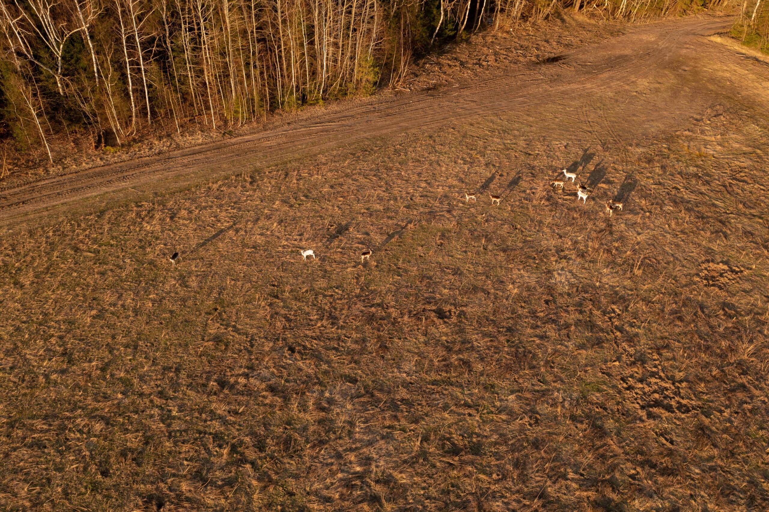
Forget old counting methods that spook your deer and waste your time. You need a deer census that delivers fast, accurate results without disturbing wildlife or breaching regulations. Our thermal drone survey uses UAV thermography and radiometric thermal imaging to map and count deer precisely, giving you the confidence to manage your estate with clear, data-driven insight. For more information, visit our website.
Benefits of Thermal Drone Surveys
Thermal drone surveys revolutionise how you manage wildlife, offering a fresh approach that surpasses traditional methods. Let’s explore the key advantages.
Accuracy and Speed in Deer Census
Thermal drones offer unmatched accuracy in deer census due to their ability to detect heat signatures. Unlike ground or aerial visual counts, drones can identify deer even in dense foliage or rugged terrain. This precision allows you to make informed decisions based on accurate data.
The speed of thermal surveys is another game-changer. A drone can cover large areas swiftly, reducing the time and labour usually needed for ground counts. You’ll get results faster, allowing for timely management decisions. This efficiency saves you not only time but also resources.
Low-Disturbance Wildlife Monitoring
Traditional methods can disrupt wildlife, causing stress and potentially skewing results. Thermal drones, however, are non-intrusive. By eliminating the need for human presence on the ground, these surveys minimise disturbance to deer and other wildlife.
This approach also maintains natural behaviours and habitats, ensuring the data collected is reliable and true to the wildlife’s natural state. There’s no need to worry about scaring off the very animals you wish to count.
Compliance with NatureScot Best Practices
Following best practices is crucial for ethical and effective wildlife management. Thermal drone surveys align with NatureScot guidelines, ensuring your operations are compliant with current standards. This compliance gives you peace of mind and reinforces your commitment to responsible management.
By choosing thermal drones, you demonstrate adherence to best practices while benefiting from advanced technology. This alignment enhances your reputation and supports sustainable wildlife management.
Advanced Technology and Methods
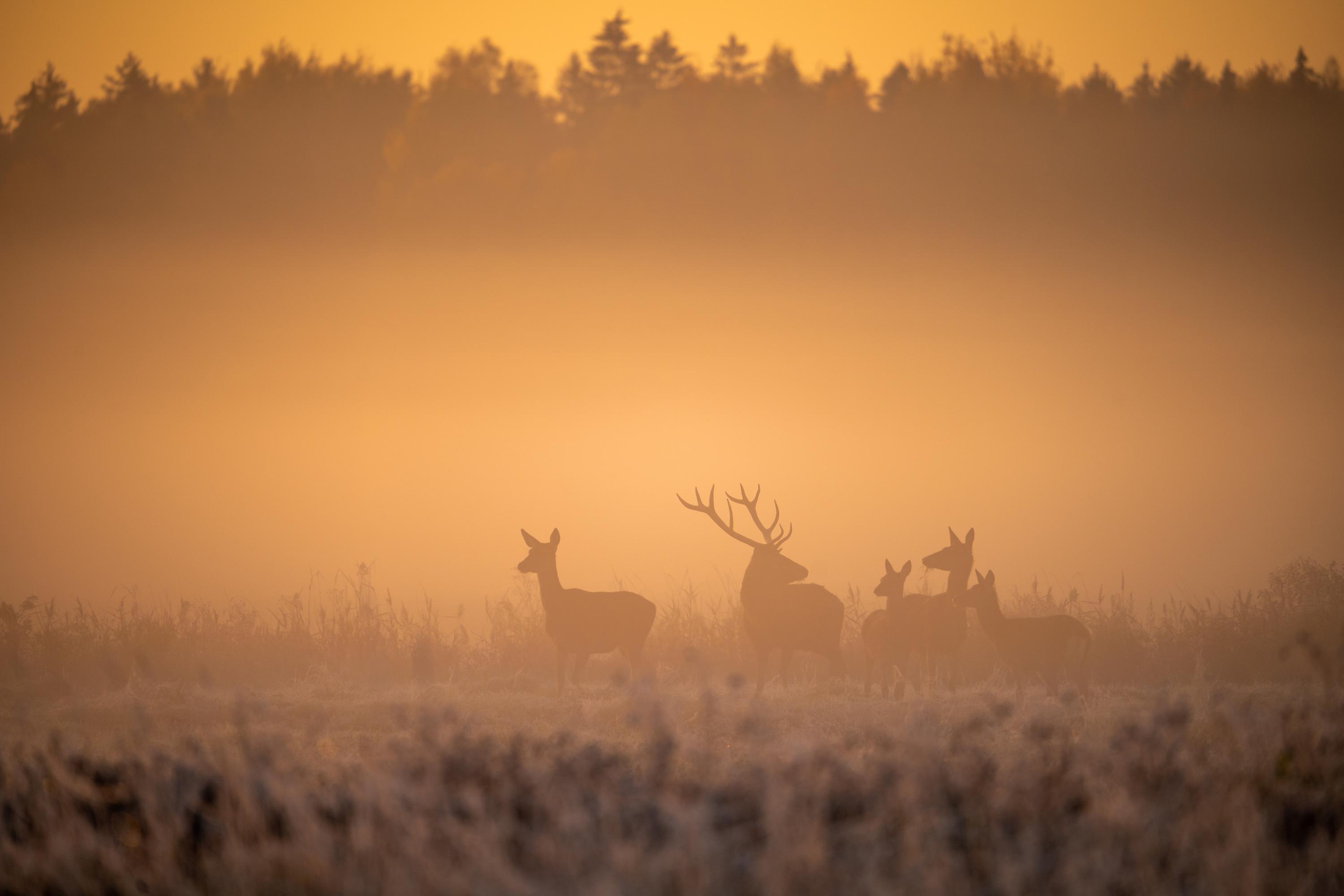
To truly understand the power of thermal drones, it’s essential to delve into the technology and methods that drive their effectiveness. Let’s break down the components.
UAV Thermography and Radiometric Imaging
UAV thermography is at the core of thermal drone surveys. By using radiometric thermal imaging, drones capture detailed heat maps of the surveyed area. This technology allows you to detect even the slightest temperature differences, making it easier to identify deer.
Radiometric imaging provides precise data, offering a clear view of wildlife activity. This level of detail is crucial for accurate wildlife management, allowing you to address specific challenges with confidence.
Georeferenced Detections and GIS Shapefiles
Thermal drone surveys provide georeferenced detections, integrating with GIS shapefiles to offer a comprehensive view of your estate. This integration allows you to visualise deer populations and movements within the landscape.
Using GIS data, you can create detailed maps that support decision-making and planning. This spatial understanding helps you manage your land more effectively, identifying key areas for conservation or intervention.
Distance and Line Transect Sampling
Distance and line transect sampling are methods used in thermal surveys to ensure comprehensive coverage. These techniques help estimate deer density and distribution, providing a complete picture of the population.
By employing these sampling methods, you gain insights into deer behaviour and habitat use. This data supports targeted management strategies, allowing you to focus efforts where they are most needed.
Applications and Opportunities
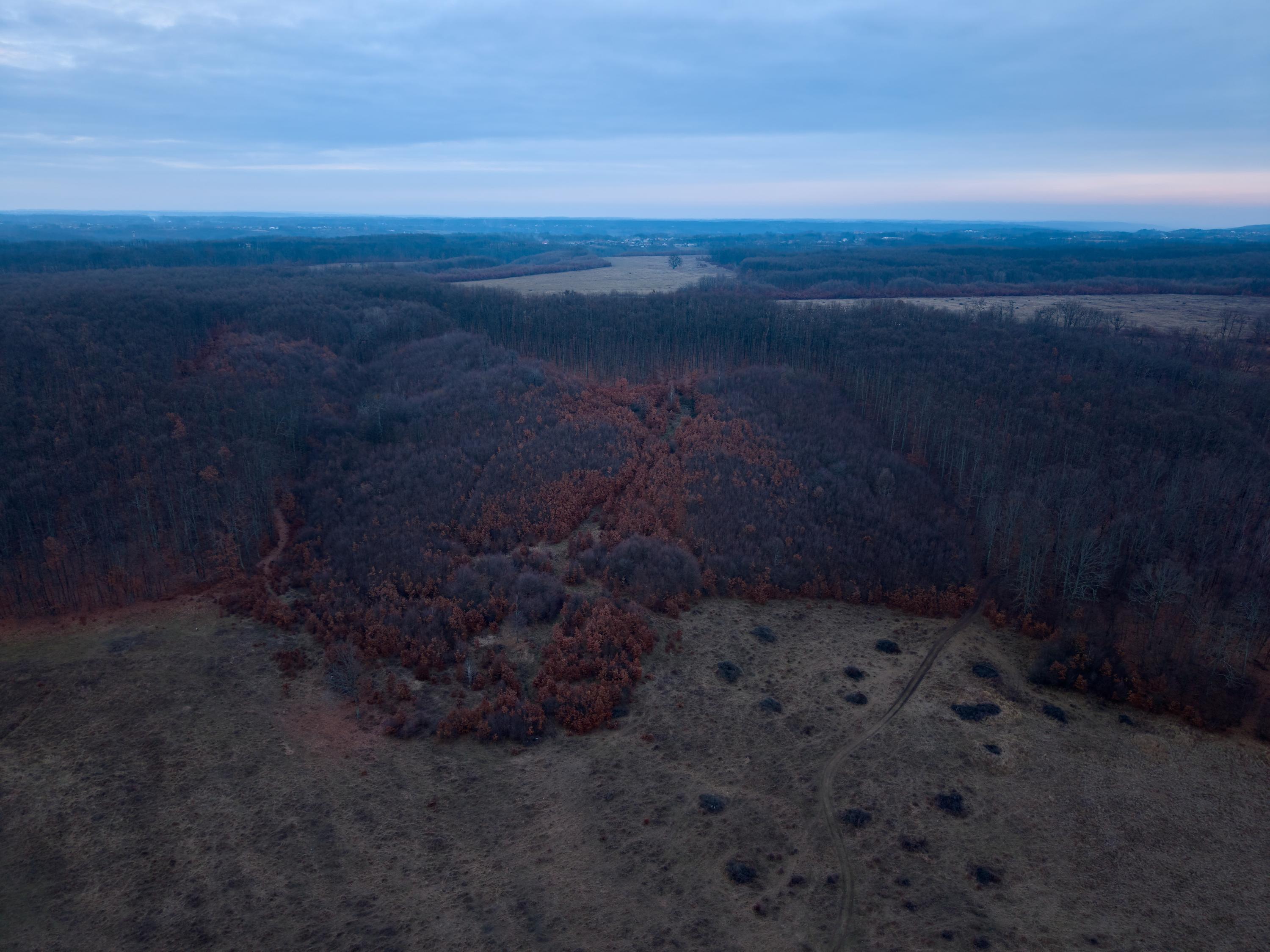
Thermal drone surveys open up a world of possibilities for wildlife management and beyond. Let’s explore some of the key applications.
Estate Deer Management and Peatland Restoration
Managing deer populations is crucial for maintaining ecological balance. Thermal drone surveys provide the data needed for effective estate deer management, supporting conservation efforts and sustainable practices.
Peatland restoration also benefits from thermal surveys. By monitoring wildlife impact and vegetation recovery, you can ensure the success of restoration projects. This dual application highlights the versatility of drone technology.
Wind Farm Environmental Monitoring
For wind farm developers, environmental monitoring is essential. Thermal drones offer a non-intrusive way to assess wildlife activity and habitat use around wind farms. This information helps you mitigate potential impacts and align with environmental regulations.
By integrating thermal surveys into your monitoring plan, you demonstrate a commitment to sustainable development. This proactive approach supports both environmental and operational objectives.
Ecological Consultancy Support and Partnership Opportunities
Ecological consultancies can leverage thermal drone surveys to enhance their services. Whether for wildlife studies or habitat assessments, the data provided supports informed recommendations and strategies.
Collaborating with drone operators like PB Aerial Imaging opens up new partnership opportunities. Together, you can offer clients cutting-edge solutions and comprehensive insights, strengthening your position in the ecological consultancy field.
Frequently Asked Questions
What is a thermal drone survey?
A thermal drone survey uses UAVs equipped with thermal imaging cameras to detect and count wildlife based on their heat signatures. This method provides accurate and non-intrusive wildlife monitoring.
How do thermal drones reduce wildlife disturbance?
By eliminating the need for ground teams, thermal drones minimise human presence, which reduces stress and disturbance to wildlife. This approach maintains natural behaviours, ensuring reliable data.
Are thermal drone surveys compliant with NatureScot guidelines?
Yes, thermal drone surveys align with NatureScot best practices, ensuring ethical and compliant wildlife management. This compliance is crucial for maintaining responsible management standards.
Can thermal drones be used for environmental monitoring at wind farms?
Absolutely, thermal drones offer a non-intrusive method for environmental monitoring around wind farms. They help assess wildlife activity and habitat use, supporting sustainable development efforts.
How do georeferenced detections enhance wildlife management?
Georeferenced detections integrate with GIS shapefiles to provide spatial insights into wildlife populations. This data helps visualise animal movements and supports targeted management strategies.
