
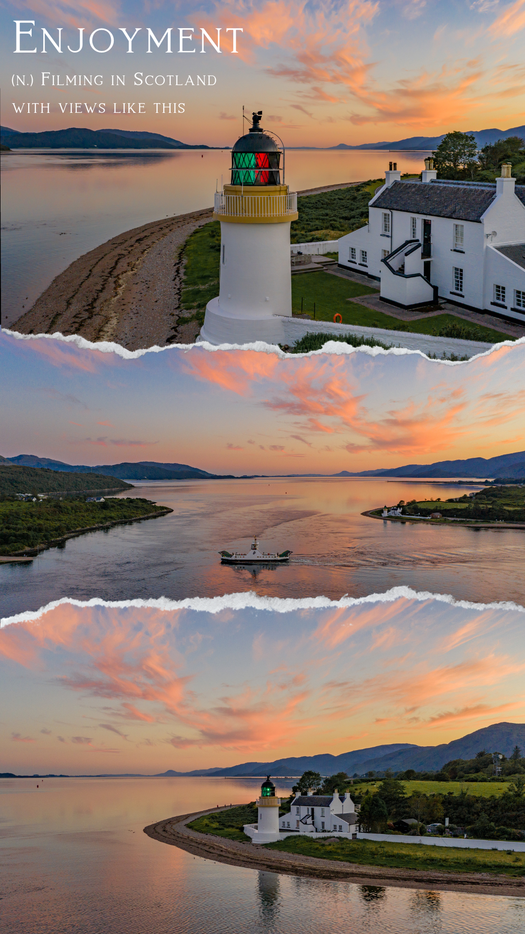
Offshore drone inspections push the limits of what’s possible in harsh environments. You face tight schedules, safety concerns, and costly delays every day. This guide shows how offshore-qualified drone services cut risk and time while improving data quality and visuals—helping you make smarter decisions with precision you can trust. Learn more about choosing the right drone services for your project by visiting PB Aerial Imaging’s practical guide.
Offshore Drone Inspections
Navigating offshore conditions demands precision and expertise. Drones are redefining inspections with their ability to access hard-to-reach areas safely and efficiently.
Wind Turbine Drone Inspection UK
Wind turbine inspections in the UK require specialised skills. Drones offer a safer and faster alternative to traditional methods. By using aerial views, drones can capture detailed visuals of turbine blades, towers, and nacelles, ensuring accurate assessments. This approach not only cuts down inspection time but also minimises risks associated with manual inspections. The result is a comprehensive report that helps you maintain optimal performance and prevent costly downtimes.
Oil and Gas Drone Inspection
The oil and gas sector is notorious for its challenging environments. Drones provide a safer and more efficient means to conduct inspections on offshore rigs and pipelines. They capture high-resolution images that reveal structural conditions and potential issues before they become major problems. Operators rely on these insights to make informed decisions about maintenance and repairs. This proactive approach enhances safety, reduces operational costs, and ensures compliance with industry standards.
GWO Certified Drone Services
Working offshore requires adherence to strict safety standards. GWO certification ensures that drone operations are conducted with the highest level of safety and compliance. Certified drone services bring peace of mind, knowing that every operation meets rigorous safety protocols. This certification is especially crucial in environments where conditions can change rapidly, ensuring that inspections are conducted without compromising safety or quality.
Precision Drone Surveys
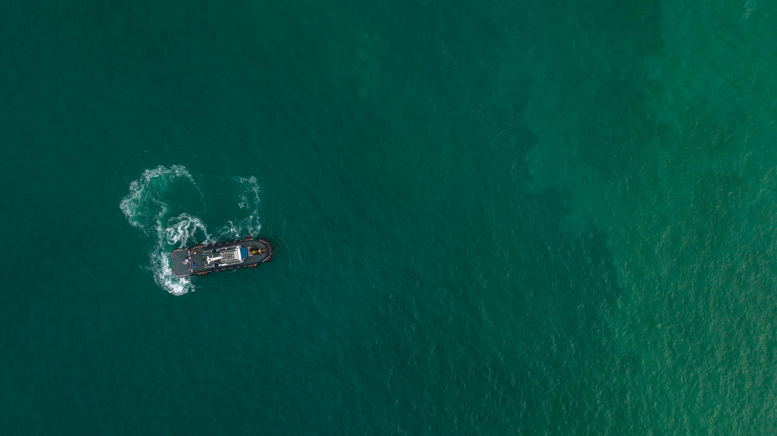
Precision is key in drone surveys, whether for mapping, restoration, or construction. These services offer detailed data that inform critical decisions.
RTK Photogrammetry and Orthomosaic Mapping
RTK (Real-Time Kinematic) technology enhances photogrammetry accuracy, providing centimetre-level precision in mapping. This technology is crucial for projects requiring detailed topographical data. Orthomosaic mapping combines these high-resolution images into a seamless map, offering a comprehensive view of large areas. This data supports everything from infrastructure planning to environmental monitoring.
Peatland Restoration Surveys
Restoring peatlands is vital to preserving ecosystems and combating climate change. Drone surveys offer a non-invasive way to gather detailed data over vast areas. By capturing high-resolution images, drones help scientists and conservationists understand the current state of peatlands and track changes over time. This information is critical for planning restoration efforts and ensures that interventions are both effective and sustainable.
Construction Drone Survey
In construction, time is money. Drones expedite surveys, providing real-time data that informs project planning and execution. They capture detailed aerial images that reveal site conditions, progress, and potential challenges. This data aids in resource allocation, risk management, and ensures projects stay on schedule and within budget.
Cinematic Aerial Filming
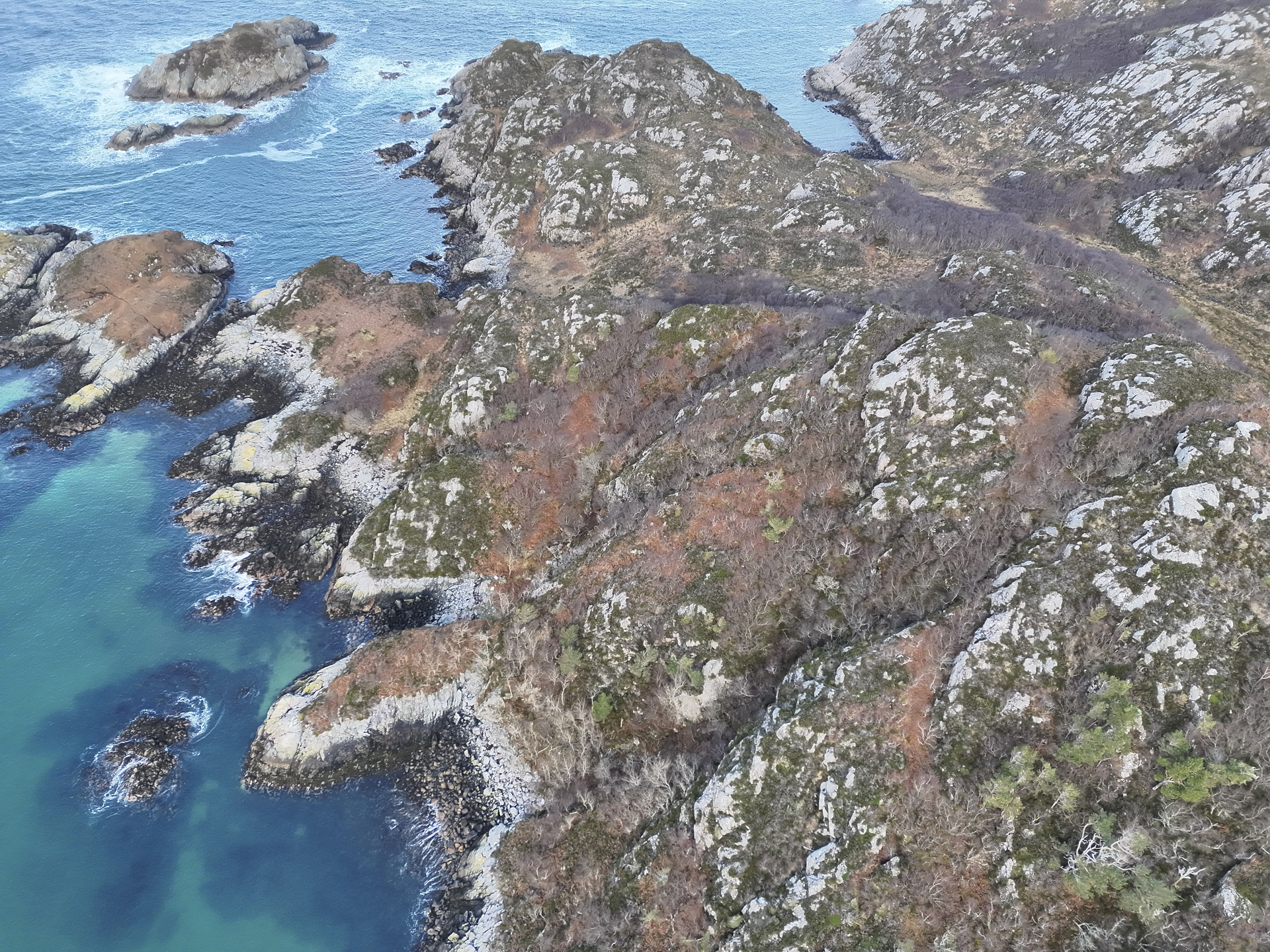
Elevate your storytelling with cinematic aerial filming. Drones offer perspectives that captivate and engage audiences across various industries.
Film and TV Aerial Cinematography
Drones have revolutionised the film and TV industry by providing breathtaking aerial shots that were once impossible or prohibitively expensive. Their agility and ability to capture stunning visuals from unique angles make them an invaluable tool for filmmakers. Whether it’s a sweeping landscape or a dynamic action sequence, drones deliver the cinematic quality that enhances any production.
Cinematic Drone Filming Scotland
The scenic landscapes of Scotland are perfect for cinematic drone filming. Drones capture the rugged beauty of the Highlands, the serene lochs, and the historic architecture with unparalleled clarity. This capability not only enhances films and documentaries but also serves tourism and promotional videos, showcasing Scotland’s natural splendour to a global audience.
Aerial Imaging Scotland and Europe
Aerial imaging across Scotland and Europe opens up new vistas for storytelling and documentation. Drones provide high-quality footage that supports projects in tourism, real estate, and media. Their ability to capture wide-angle views and detailed close-ups makes them ideal for creating compelling visual narratives that engage and inform.
Frequently Asked Questions
What are the benefits of using drones for inspections?
Drones offer a safer, faster, and more cost-effective way to conduct inspections. They provide detailed visuals that help in making informed maintenance and operational decisions without exposing personnel to hazardous conditions.
How do drones aid in precision surveys?
Drones equipped with advanced technology like RTK provide highly accurate data. This precision is essential for creating detailed maps and models, which are crucial for planning and monitoring various projects.
Why is GWO certification important for offshore drone operations?
GWO certification ensures that drone operations adhere to the highest safety standards. This is crucial in offshore environments where safety is paramount, and conditions can change rapidly.
How do drones enhance cinematic filming?
Drones offer unique perspectives and high-quality footage that elevate storytelling. Their flexibility and ability to capture stunning visuals make them a valuable tool in film and media production.
Can drones be used in all weather conditions for inspections and filming?
While drones are versatile, certain weather conditions like high winds or heavy rain can limit their operations. It’s important to plan drone activities during favourable conditions to ensure safety and quality results.
